Emberg, Mountain summit in Thuringia, Germany
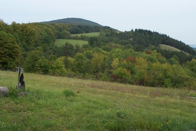
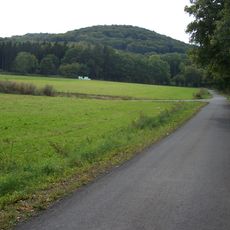
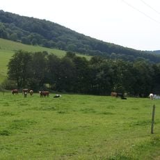
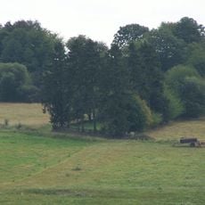
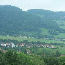
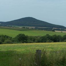
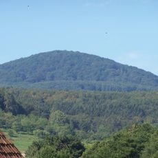
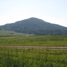
Emberg is a peak in Thuringia rising to approximately 542 meters with steep slopes covered in natural vegetation. The rocky and forested flanks create a characteristic profile in the central German landscape.
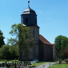
This peak has served as a geographical reference point since medieval times for defining boundaries between different regions of central Germany. Its location made it an important landmark across a region with many political shifts.
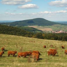
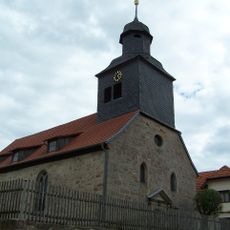
The communities around this peak have developed names reflecting its profile, and the slopes serve as routes that connect generations of hikers with their mountain environment. These paths remain places where visitors can directly experience how locals relate to their landscape.
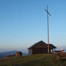
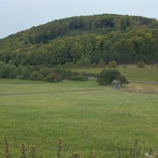
Hiking trails approach the summit from several directions, with the eastern route offering the most gradual climb for beginners. Wet weather can make the ground slippery, so proper footwear and caution on steeper sections are important.
The peak's position creates specific weather patterns that allow snow to persist on its northern face longer than on comparable neighboring peaks. This asymmetry results from wind protection and sun exposure, making the summit visually distinctive during winter months.
The community of curious travelers
AroundUs brings together thousands of curated places, local tips, and hidden gems, enriched daily by 60,000 contributors worldwide.