
Müllenbach, human settlement in Germany
Location: Cochem-Zell
Elevation above the sea: 470 m
Website: http://kaisersesch.de
GPS coordinates: 50.22250,7.06417
Latest update: April 4, 2025 16:28
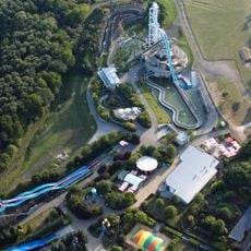
Wild- und Freizeitpark Klotten
10 km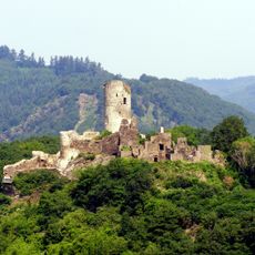
Winneburg
9.3 km
Cochemer Sesselbahn
10.5 km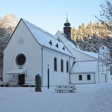
Wallfahrtskirche Maria Martental
2.4 km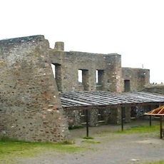
Burg Ulmen
6.1 km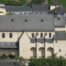
Kapuzinerkloster Cochem
11.2 km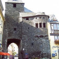
Enderttor
11.1 km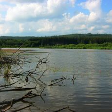
Jungferweiher
6.1 km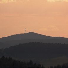
Hochkelberg
9.8 km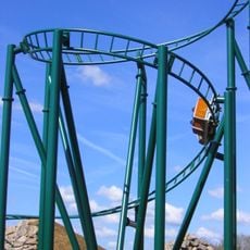
Die heiße Fahrt
10 km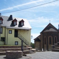
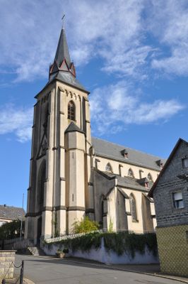
St. Pankratius
5.6 km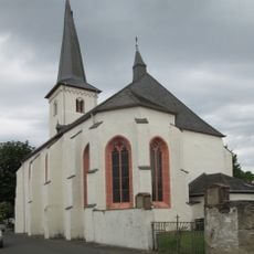
Mater Dolorosa (Driesch)
10.4 km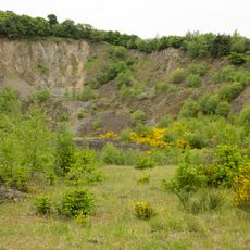
Hochbermel
6.7 km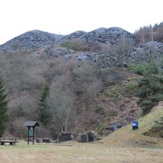
Kaulenbachtal
1.1 km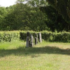
Jewish cemetery, Kaisersesch
5.5 km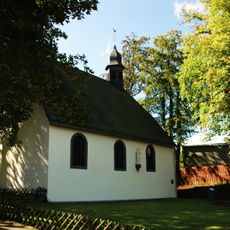
Waldkapelle (Kaisersesch)
4.7 km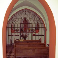
Seitskapelle
10.7 km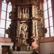
Bitter-Leidens-Altar
10.4 km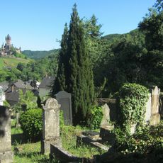
Neuer jüdischer Friedhof (Cochem)
11 km
St. Quirinus
7 km
Müllenbachtal - Kaulenbachtal
1.1 km
Hochkelberg mit Mosbrucher Weiher
9.4 km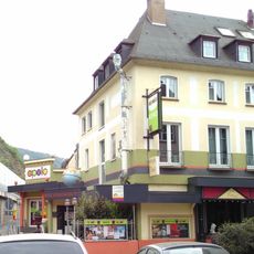
Apollo
11 km
Hoch Bermel
6.6 km
St. Vinzenz
8.6 km
Kelberg
9.8 km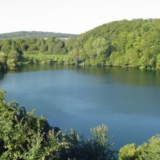
Ulmener Maar
5.9 km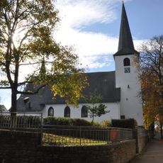
St. Johannes der Täufer
5.5 kmVisited this place? Tap the stars to rate it and share your experience / photos with the community! Try now! You can cancel it anytime.
Discover hidden gems everywhere you go!
From secret cafés to breathtaking viewpoints, skip the crowded tourist spots and find places that match your style. Our app makes it easy with voice search, smart filtering, route optimization, and insider tips from travelers worldwide. Download now for the complete mobile experience.

A unique approach to discovering new places❞
— Le Figaro
All the places worth exploring❞
— France Info
A tailor-made excursion in just a few clicks❞
— 20 Minutes