Kraichgau, Rolling hills region in Baden-Württemberg, Germany.
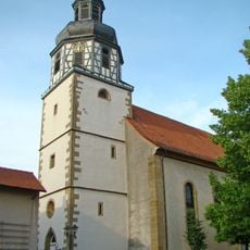
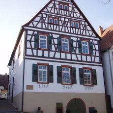
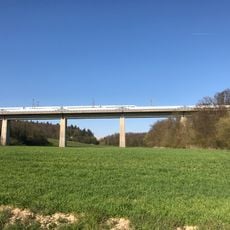
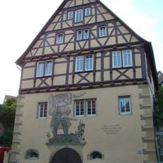
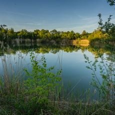
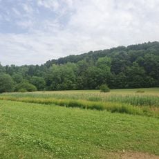
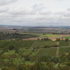
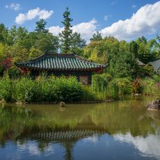
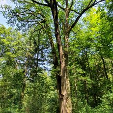
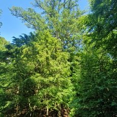
Kraichgau stretches between Heidelberg, Karlsruhe, and Heilbronn and presents gentle slopes, valleys, vineyards, orchards, and small farming settlements. The landscape feels varied and shaped by agricultural use.
The area first appeared in written records in 769 in the Lorsch codex as 'Creichgowe,' a name derived from the Celtic word 'Creuch' for mud or loam. Medieval noble presence shaped the settlement structure of the region for centuries.
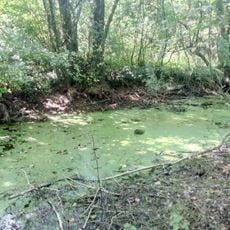
The name Kraichgau was first recorded in the Lorsch codex in 769 as Creichgowe. Kraich probably comes from a Celtic word for mud or loam, referring to the brownish stream; Gau means an open, wood-free farming area. The region is still farmed for orchards, vineyards and arable crops, and hosts an Ironman competition.
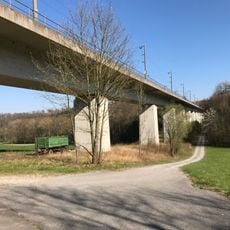
The Kraichbach cycling path runs from Unteröwisheim via Sternenfels to where the stream meets the Rhine at Ketsch. Along this route you can explore the typical villages and the varied field landscape easily.
Steinsberg Castle stands at the highest point of the Kraichgau and serves as a geographic reference for the entire area. From many spots the tower remains visible over long distances and helps walkers and cyclists find their way.
The community of curious travelers
AroundUs brings together thousands of curated places, local tips, and hidden gems, enriched daily by 94,243 contributors worldwide.