Bevertalsperre, Reservoir in Bergisches Land, Germany
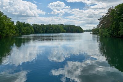
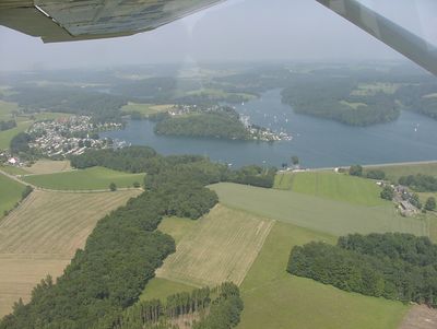
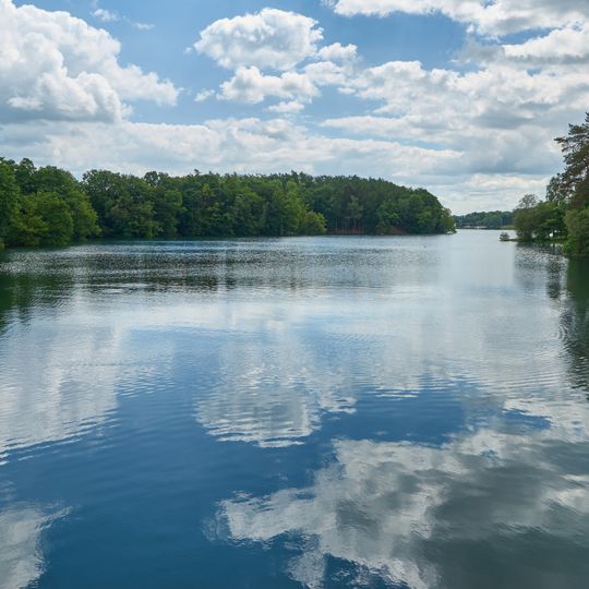
The Bevertalsperre stretches over several kilometers and sits surrounded by wooded slopes between Hückeswagen, Radevormwald and Wipperfürth in the Bergisches Land. Water fills a long valley, and along the shores narrow strips of meadow alternate with dense forest.
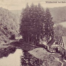
The first dam, built at Wefelsen on the Intze principle, was inaugurated on 8 October 1898 and held 3.3 million m³; it was the Wupper area's first dam for utility water, not drinking water. After the Wuppergesetz of 1930 founded the Wupperverband, work on a new dam began in spring 1935 to a design by Harald Link. The old wall's upper section was removed and a rockfill dam with a steel core sealing wall was built further south, in operation from 1938 with a capacity of 23.7 million m³.
On warm days many families use the official swimming spots, while hikers walk along the shore paths and pause at different points to rest. The name comes from the Bever river, which was dammed here and whose valley once cut deep through the wooded hills.
A 15 km circular trail, the Bever-Rundweg, circles the reservoir and takes three to four hours on foot. Boats need a user sticker, sold as weekly or annual passes at the four campsites around the shore and from the Wupperverband. The Wupperverband still runs guided tours through the dam.
Beneath the water surface tunnels connect this basin with the neighboring Neye and Schevelinger reservoirs, which together form a shared system. This network is called the Beverblock and allows balancing of water volumes between the three facilities.
The community of curious travelers
AroundUs brings together thousands of curated places, local tips, and hidden gems, enriched daily by 92,894 contributors worldwide.