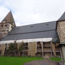
Bielstein, Mountain summit in Landkreis Kassel, Germany
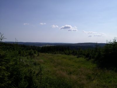
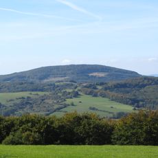
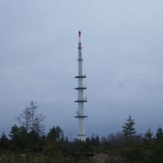
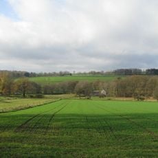
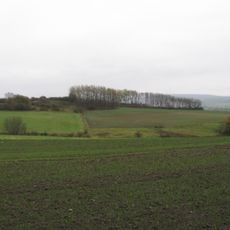
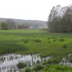
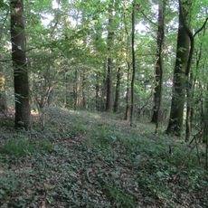
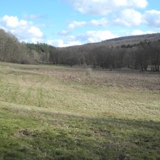
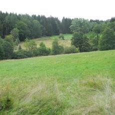
Bielstein is a mountain summit located within the Kaufunger Wald, a forested region in Hessen that covers rolling hills and dense woodland. The peak rises noticeably above the surrounding terrain and is crisscrossed by walking routes that connect to various trailheads in the area.
The mountain has been used as a natural vantage point since ancient times, offering views across the surrounding valleys. This strategic location made it an important landmark in the history of Landkreis Kassel.
The mountain serves as a gathering point for hikers from the surrounding area who regularly meet here to explore nature together. Local villages have deep ties to this place, which remains central to how many residents spend their leisure time.
The mountain is accessible year-round, with multiple starting points offering parking and information about the available routes. Signs and markers along the trails make navigation straightforward for visitors of different experience levels.
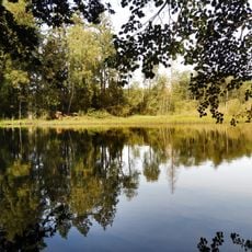
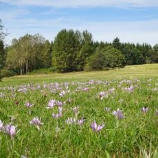
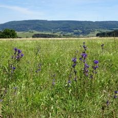
The mountain supports various plant species that thrive in its specific soil and slope conditions, with some rare varieties found nowhere else nearby. This makes it an interesting spot for those curious about how different forest ecosystems develop on sloped terrain.
Location: Landkreis Kassel
Elevation above the sea: 527.8 m
GPS coordinates: 51.25000,9.66411
Latest update: December 14, 2025 20:04
Bundesautobahn 44
3.6 km
Sprengstofffabrik Hessisch Lichtenau
3.7 km
Kaufungen Abbey
3.9 km
Stiftskirche Kaufungen
3.9 km
Hirschberg
6.4 km
Burg Sensenstein
6.9 km
Gerichtsplatz Vollmarshausen
7.1 km
Protestant Church (Wellerode)
6.5 km
Sender Söhrewald
4.8 km
Evangelische Kirche Hessisch Lichtenau
7.1 km
Naturschutzgebiet Steinbachtal und Hirschhagener Teiche
5.4 km
Tiefenbachwiesen bei Rommerode
5.7 km
Evangelische Kirche Vollmarshausen
7.2 km
Bachtäler im Kaufunger Wald
7.2 km
Rösberg bei Rommerode
7.1 km
Evangelische Kirche (Fürstenhagen)
4.7 km
Thomaskirche Eschenstruth
2.5 km
St. Anna
7.1 km
St. Nikolai
1.8 km
Evangelische Kirche
5.9 km
Friedhof und Kapelle
6.8 km
Landschaftsschutzgebiet Lossewiesen bei Niederkaufungen
7.9 km
Vollmarshäuser Teiche
6.4 km
Wald nördlich Niederkaufungen
6.3 km
Naturschutzgebiet Oberes Niestetal
6.8 km
Naturschutzgebiet Heubruchwiesen bei Eschenstruth
2.8 km
Autobahnbrücke
3.6 km
Haus Leipziger Straße 269
5.6 kmVisited this place? Tap the stars to rate it and share your experience / photos with the community! Try now! You can cancel it anytime.
Discover hidden gems everywhere you go!
From secret cafés to breathtaking viewpoints, skip the crowded tourist spots and find places that match your style. Our app makes it easy with voice search, smart filtering, route optimization, and insider tips from travelers worldwide. Download now for the complete mobile experience.
A unique approach to discovering new places❞
— Le Figaro
All the places worth exploring❞
— France Info
A tailor-made excursion in just a few clicks❞
— 20 Minutes