Hirschberg, Mountain summit in Kaufungen Forest, Germany
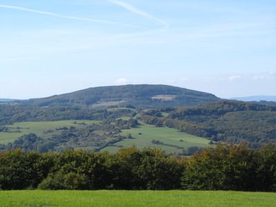
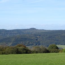
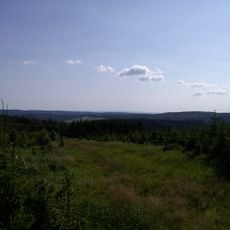
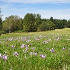
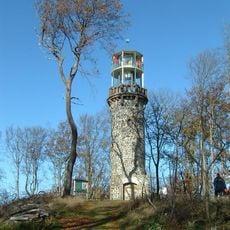
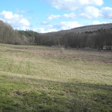
Hirschberg is a mountain summit in the Kaufungen Forest with its peak reaching 643 meters above sea level. The summit spreads across a broad plateau about one kilometer in diameter, featuring two distinct high points.
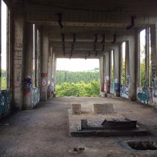
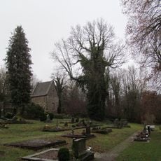
Mining operations started here in 1690 when brown coal extraction began on the northern slopes. The mining continued for centuries until it finally stopped in October 2003.
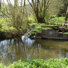
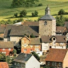
The mountain holds meaning for hikers and nature lovers who visit regularly to walk through its forested slopes. The protected status of the surrounding forest shows how the landscape is now cared for and restored.
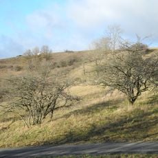
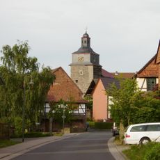
The mountain can be reached from the towns of Wickenrode and Großalmerode using marked hiking trails, as no roads lead to the summit. The paths are well marked and guide visitors through the forest up to the plateau.
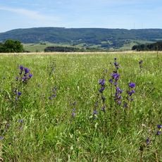
The summit plateau still shows visible traces of its mining past, particularly in circular clearings scattered across the surface. Some of these clearings reach up to 165 meters in diameter, revealing the scale of coal extraction that took place here.
Location: Hesse
Elevation above the sea: 643.4 m
GPS coordinates: 51.24557,9.75529
Latest update: December 13, 2025 12:23
Sprengstofffabrik Hessisch Lichtenau
4.5 km
Bilstein
5 km
Roter See
5.6 km
Bielstein
6.4 km
Wehretalbrücke
6 km
Evangelische Kirche Hessisch Lichtenau
5.9 km
Naturschutzgebiet Steinbachtal und Hirschhagener Teiche
3.7 km
Hohekopf bei Großalmerode
3 km
Quellgebiet der Weißen Gelster
4.6 km
Tiefenbachwiesen bei Rommerode
1.5 km
Landschaftsschutzgebiet Gelstertal
6.6 km
Rösberg bei Rommerode
2.2 km
Evangelische Kirche (Fürstenhagen)
5.9 km
Thomaskirche Eschenstruth
6.6 km
Evangelische Kirche Velmeden
4.5 km
St. Nikolai
4.9 km
Evangelische Kirche (Epterode)
2.5 km
Bilsteinturm
5 km
Evangelische Kirche Trubenhausen
6.1 km
Evangelische Kirche Walburg
5.1 km
Friedhof und Kapelle
5.5 km
Ev. Kirche
5.1 km
Tunnelportal
4.1 km
Kirchenruine
6.5 km
'Gelsterbrücke'
5.3 km
Naturschutzgebiet Oberes Niestetal
6 km
'Albliedstunnel'
4.2 km
Ev. Kirche
4.4 kmVisited this place? Tap the stars to rate it and share your experience / photos with the community! Try now! You can cancel it anytime.
Discover hidden gems everywhere you go!
From secret cafés to breathtaking viewpoints, skip the crowded tourist spots and find places that match your style. Our app makes it easy with voice search, smart filtering, route optimization, and insider tips from travelers worldwide. Download now for the complete mobile experience.
A unique approach to discovering new places❞
— Le Figaro
All the places worth exploring❞
— France Info
A tailor-made excursion in just a few clicks❞
— 20 Minutes