Bilstein, Mountain summit in Kaufunger Wald, Germany
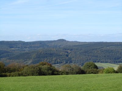
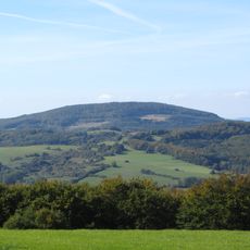
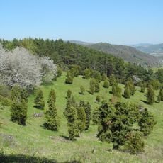
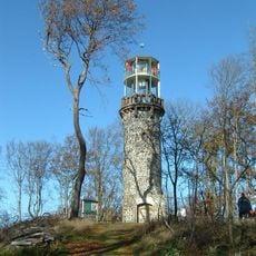
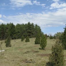
Bilstein is a mountain summit in the Kaufunger Wald region, standing at approximately 641 meters and ranking as the second highest peak after Hirschberg. It is topped with a stone observation tower and surrounded by extensive forest trails that are accessible to hikers.
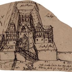
A wooden observation tower was built in 1869 to provide visitors with views from the summit. This structure was replaced by the stone tower known as Bilsteinturm in 1891, which remains standing today.
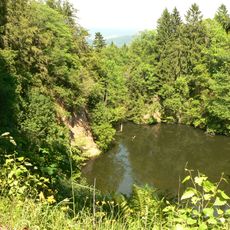
The mountain is connected to regional folklore through named trails like the Frau-Holle-Pfad and Herkulesweg, which visitors use to explore local stories while walking through the forest. These paths reflect how people in the area have long connected outdoor traditions with their cultural heritage.
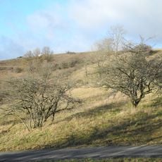
The summit can be reached via forest trails starting from the nature parking area, with a hike of about 2,5 kilometers on gravel paths. The terrain is forested with marked routes, so visitors should wear sturdy footwear and come prepared to navigate the area.
The Bilsteinturm offers visitors a view extending over 20 meters, where clear weather allows sightings of the Brocken mountain in the Harz region, the city of Göttingen, and numerous peaks across central Germany. This far-reaching view connects three distinct landscapes in a single glance.
The community of curious travelers
AroundUs brings together thousands of curated places, local tips, and hidden gems, enriched daily by 60,000 contributors worldwide.