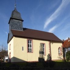
Haferberg, Mountain summit in Kaufungen Forest, Germany
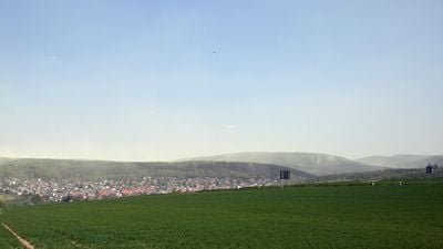
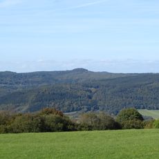
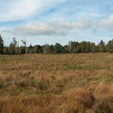
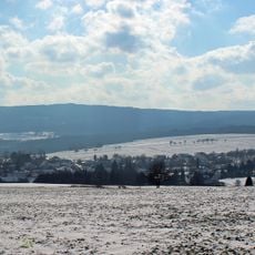
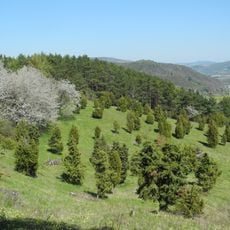
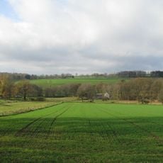
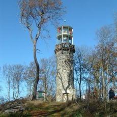
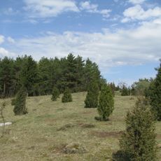
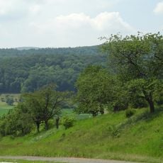
Haferberg is a mountain summit in the Kaufunger Forest region that rises to 580 meters above sea level. It marks the boundary between the states of Hesse and Lower Saxony, sitting within the Münden Nature Park.
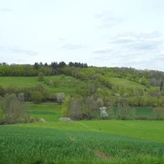
The name comes from agricultural practices, as farmers once grew oats on the surrounding slopes in earlier times. This farming tradition shaped the regional identity for generations.
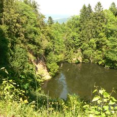
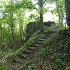
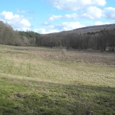
The Haferberg stands within the Münden Nature Park, where numerous hiking paths connect to the Frau Holle cultural trail system.
The summit is accessible via marked hiking trails from the Umschwang pass located to the southeast. The path follows established routes through the forest with clear signage throughout.
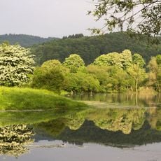
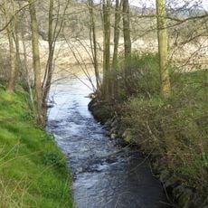
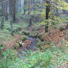
The mountain acts as a watershed dividing the Fulda River drainage to the west from the Werra River to the northeast. This hydrological function quietly shapes how rainfall moves through the wider landscape.
The community of curious travelers
AroundUs brings together thousands of curated places, local tips, and hidden gems, enriched daily by 60,000 contributors worldwide.