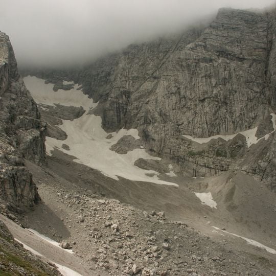
Blaueis, Glacier in Ramsau bei Berchtesgaden, Germany
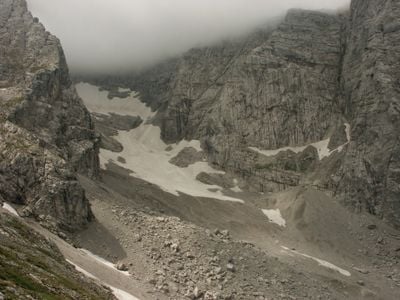
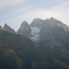
Blaueis is the northernmost glacier in the Alps, lying in the upper Blaueis cirque in the municipality of Ramsau, ringed horseshoe-fashion by the Blaueisspitze (2480 m), Hochkalter (2607 m) and Kleinkalter (2513 m). Its pale ice is streaked with grey debris and broken by exposed rock; since the mid-1980s a rock band has separated the upper glacier from the lower dead-ice field.
The first map surveys around 1820 recorded 25 hectares of ice; by 1884 it measured 19.6 hectares and by 1953 only 13.1 hectares. Since the mid-1980s rock has emerged in the middle, cutting the upper glacier off from the lower dead-ice field. In 2009 both fields together covered 7.5 hectares, in 2018 5.2 hectares, and at the end of 2025 just 1.5 hectares.
The name Blaueis means "blue ice", after the bluish tone of the exposed ice. Since 2022 a 3D model of the glacier, made for the DGGV's 30-Geotope3 project, has been published, and the Bavarian State Office for the Environment lists the glacier as geotope 172R026.
The Blaueishütte, the base for glacier ascents, stands at 1,651 m in the Blaueis cirque below the ice and is reached from Ramsau or Hintersee in just over three hours on foot. The upper glacier reaches 55°, and the Randkluft below the Blaueisscharte is easiest to cross in the second half of June, when snow bridges often span it; in late summer and autumn the gap is wide and hard to pass.
The Blaueis is the northernmost glacier in the Alps. Since the mid-1980s, rock has emerged in its middle and now separates the upper ice from the lower dead-ice field, which no longer receives replenishment and melts faster. In 2018 the whole ice mass covered 5.2 hectares, with a mean thickness of 5.3 metres.
The community of curious travelers
AroundUs brings together thousands of curated places, local tips, and hidden gems, enriched daily by 94,218 contributors worldwide.