
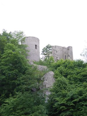
Lauterstein Castle, Medieval castle ruins in Niederlauterstein, Marienberg, Germany.
Lauterstein Castle is the remains of a medieval fortress positioned on a hilltop near Marienberg. The visible stone walls and structural fragments reveal how the builders constructed this stronghold to command views across the surrounding landscape.
The fortress was first recorded in writing during 1304 when it was called Lutirstein and a nobleman named Johannis was associated with it. Swedish forces destroyed it in 1639, ending its role as a defensive stronghold in the region.
The castle served as a focal point for regional life, marking an important location where merchants and travelers passed through the Ore Mountains during the Middle Ages. The site remains meaningful to local communities as a symbol of their area's historical connections to distant trade networks.
Hikers can reach the ruins by following trails from nearby towns like Sorgau and Zöblitz that lead up the hillside. The site is accessible year-round, though sturdy footwear is recommended since the terrain and stone structures require careful footing.
A model manufacturer created a detailed scale replica of the castle based on historical drawings made in 1629 by engineer Dillich. This miniature provides insight into how the fortress appeared before it was damaged and left to decay.
Location: Marienberg
GPS coordinates: 50.66860,13.20810
Latest update: December 9, 2025 12:20
St Mary's Church, Marienberg
3.6 km
Wehrgangkirche Lauterbach
2.4 km
Burg Nidberg
1 km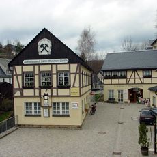
Molchner Stolln
3.6 km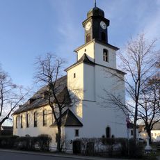
Kirche Zöblitz
2.1 km
Morgensternhöhe
3.6 km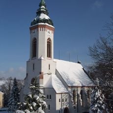
Heilandskirche
2.3 km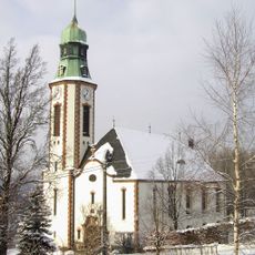
Kirche Pobershau
3.1 km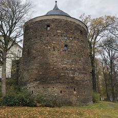
Roter Turm
3.4 km
Serpentinstein- und Heimatmuseum Zöblitz
2 km
Wehrkirche
2.4 km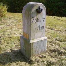
Royal Saxon milestone B 171 Marienberg
3 km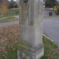
Kgl.-sächs. Postmeilenstein Zöblitz
1.6 km
Eiche
3.6 km
Wohnhaus in geschlossener Bebauung Freiberger Straße 6
3.6 km
Wohnhaus in Ecklage und in geschlossener Bebauung Fleischerstraße 1
3.7 km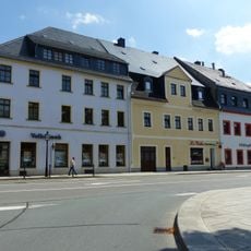
Wohnhaus in Ecklage und in geschlossener Bebauung, mit Anbau Baderstraße 1a
3.7 km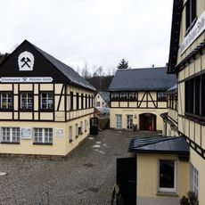
Schaubergwerk zum Molchner Stolln Pobershau
3.6 km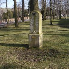
Kgl.-sächs. Postmeilenstein Stadtpark
3.4 km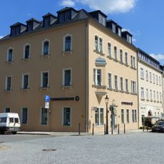
Wohnhaus (mit älterem Portal) in geschlossener Bebauung und in Ecklage Markt 5
3.7 km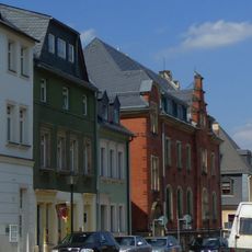
Wohnhaus in halboffener Bebauung Bergstraße 5
3.7 km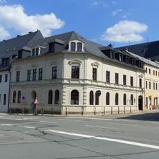
Pfarrhaus in geschlossener Bebauung und in Ecklage Freiberger Straße 2
3.6 km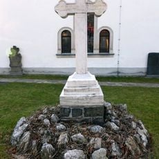
Kriegerdenkmal für die Gefallenen des Ersten Weltkrieges Südsteig 6
2.4 km
Wohnhaus in Ecklage und in geschlossener Bebauung Zschopauer Straße 8
3.7 km
Wohnhaus in geschlossener Bebauung Zschopauer Straße 4
3.7 km
Amtsgebäude in offener Bebauung und in Ecklage Bergstraße 7
3.7 km
Wohnhaus (mit älterem Portal) in geschlossener Bebauung Markt 6
3.7 km
Ehemaliges Bergamt, jetzt Wohnhaus in geschlossener Bebauung, mit Gedenktafel für Oberberghauptmann von Trebra Freiberger Straße 4
3.6 kmVisited this place? Tap the stars to rate it and share your experience / photos with the community! Try now! You can cancel it anytime.
Discover hidden gems everywhere you go!
From secret cafés to breathtaking viewpoints, skip the crowded tourist spots and find places that match your style. Our app makes it easy with voice search, smart filtering, route optimization, and insider tips from travelers worldwide. Download now for the complete mobile experience.

A unique approach to discovering new places❞
— Le Figaro
All the places worth exploring❞
— France Info
A tailor-made excursion in just a few clicks❞
— 20 Minutes