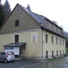
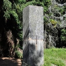
Schneckenstein, Mountain summit in Vogtlandkreis, Germany
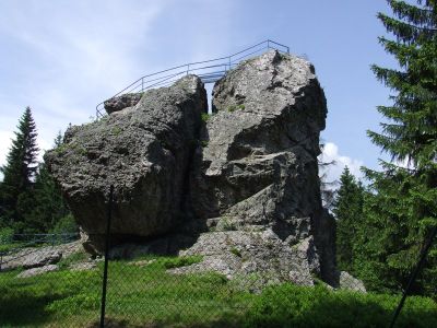
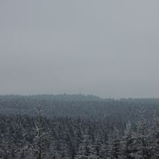
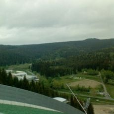
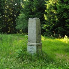
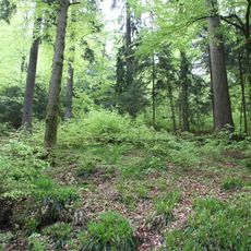
Schneckenstein is a mountain in Vogtlandkreis that rises to 883 meters (2,897 feet) with steep rock faces and thick forest coverage throughout the area. The landscape is marked by exposed stone formations that stand out against the surrounding woodland.
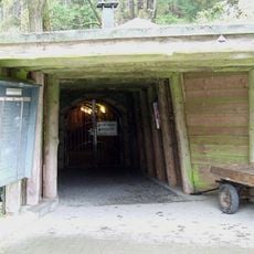
Minerals from the site were mined beginning in the early 1700s after valuable crystals were first discovered. Mining activity shaped the landscape until operations ceased in the early 1800s.
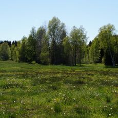
The summit was valued for its rock formations and continues to draw people interested in geology and outdoor exploration. Hikers often comment on the distinctive landscape created by the exposed stone and forest.
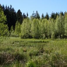
The mountain is accessible via marked hiking trails that are relatively straightforward to follow. It is best to visit during dry weather and bring sufficient water and sturdy footwear.
The mountain contains rare yellowish crystals that were highly valued in earlier times for their quality. Many visitors do not realize that beneath their feet lie geological treasures that scientists still study today.
Location: Vogtlandkreis
Elevation above the sea: 883 m
Accessibility: Wheelchair inaccessible
GPS coordinates: 50.41335,12.45135
Latest update: December 10, 2025 16:21
Deutsche Raumfahrtausstellung Morgenröthe-Rautenkranz
6.2 km
Aschberg
4.9 km
Zum Friedefürsten church
6.3 km
Vogtlandsee
5.6 km
Grube Tannenberg
656 m
Deutsche Raumfahrtausstellung Morgenröthe-Rautenkranz e.V.
6.1 km
Kiel
1.5 km
Schwarzberg
4.1 km
Church of the Assumption of the Virgin Mary
6 km
Muldenwiesen
3.7 km
Am alten Floßgraben
4.5 km
Pomník obětem fašismu
5.7 km
Lederfabrik Eduard Keffel (ehem.) Tannenbergsthal
2.3 km
Kirche Tannenbergsthaler Straße 46
3 km
World War I memorial
6 km
Kgl.-sächs. Postmeilenstein Mühlleithen
2.6 km
Kirche (mit Ausstattung) Am Kirchberg 4
5.9 km
Schaubergwerk Schneckenstein; Grube Tannenberg (Sachgesamtheit) Schneckenstein (Tannenbergsthal)
712 m
Station 24 Aschberg
4.9 km
Aquapark Bublava
5.8 km
Kirche Kirchstraße 2
3 km
Pfarrhaus Kirchstraße 2
3 km
Station 141 Kiel
1.5 km
Am alten Floßgraben
4.4 km
Oberes Zwickauer Muldetal
4.6 km
Otto-Hermann-Böhm-Tower
4.7 km
Wohnhaus mit Einfriedung Grenzstraße 15
4.9 km
Talsperre Muldenberg Muldenberg
3.6 kmVisited this place? Tap the stars to rate it and share your experience / photos with the community! Try now! You can cancel it anytime.
Discover hidden gems everywhere you go!
From secret cafés to breathtaking viewpoints, skip the crowded tourist spots and find places that match your style. Our app makes it easy with voice search, smart filtering, route optimization, and insider tips from travelers worldwide. Download now for the complete mobile experience.
A unique approach to discovering new places❞
— Le Figaro
All the places worth exploring❞
— France Info
A tailor-made excursion in just a few clicks❞
— 20 Minutes