Chest opened
+${chestReward.xp} XP
Explorer
NOUVEAU ×${chestReward.collectible.quantity}
tapez pour fermer

See the monuments around you in AR Open chests in the app

Around Us is built for your phone — point your camera at the streets and discover the monuments and places around you in augmented reality. Around Us is built for your phone — chests unlock when you walk, explore and capture nearby places.

•

Enable Location

We need your location to show you interesting places around you

Discover nearby places

Find interesting locations and hidden gems around you

Precise directions

Get accurate directions and distances to places

Your location is never shared with other users. It's only used when you tap the location button.

Grube Tannenberg

Log in to your account

Start exploring — it's free

Trusted by 93,785 travelers worldwide

Continue with Google
Continue with Apple
or

We will send you a code to connect

By continuing, you accept our Terms and Conditions and our Privacy Policy

Check your inbox

We've sent a pincode in your inbox. Please enter the code below.

Grube Tannenberg

Grube Tannenberg, Show mine in Muldenhammer, Germany.

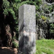
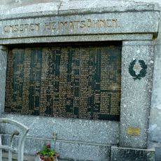
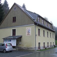
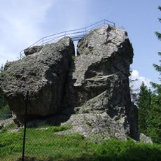
Grube Tannenberg is a former tin mine in the Saxon Vogtland, south of Tannenbergsthal in the Schneckenstein district, now run as a show mine. Its Tannenbergstolln, formerly the Comun- or Tranksteuer Stolln, cuts about 150 m from the portal into the granite-slate contact zone, where two pipe-shaped greisen bodies were mined. A blind shaft sunk in 1939 reached 89.40 m depth and opened three levels.

Tin ore was mined in the upper Vogtland forests from the late 15th century; in 1506 a mine called Alter Tannenberg was recorded near Gottesberg. Open-cast working gave way to underground mining, and in 1550 a hammer works with a tin smelter was built at Tannenbergsthal. The Tannenberg lode was re-granted in 1917 and passed to the Saxon state in 1936; regular extraction in Greisen I began on 1 October 1941.

The tours show how miners worked underground and what tools they used every day in their job. You can see how tight and physically demanding this work was.

Access to the tunnels requires good footwear and comfort in tight underground spaces. It is wise to dress warmly, as the tunnels stay cool year-round.

The show mine follows the former Comun- or Tranksteuer adit, driven east from 1936 with four crosscuts to reach the Greisen I body, which was struck in 1938 and is also exposed at the surface by the large Tannenberg Pinge. A blind shaft sunk in 1939 reached 89.4 metres, with three levels at 805, 775 and 745 metres above sea level.

The community of curious travelers

AroundUs brings together thousands of curated places, local tips, and hidden gems, enriched daily by 93,785 contributors worldwide.

Start exploring
Location
GPS coordinates
50.41560,12.45990
Latest update
October 26, 2026 14:15
Reviews
Share your experience

No review yet

Discussions
Start a discussion...

No discussion yet

« Grube Tannenberg - Show mine in Muldenhammer, Germany » is provided by Around Us (aroundus.com). Images and texts are derived from Wikimedia project under a Creative Commons license. You are allowed to copy, distribute, and modify copies of this page, under the conditions set by the license, as long as this note is clearly visible.

Discover hidden gems everywhere you go!

From secret cafés to breathtaking viewpoints, skip the crowded tourist spots and find places that match your style. Our app makes it easy with voice search, smart filtering, route optimization, and insider tips from travelers worldwide. Download now for the complete mobile experience.
Around Us App Screenshot
❝

A unique approach to discovering new places❞

— Le Figaro

❝

All the places worth exploring❞

— France Info

❝

A tailor-made excursion in just a few clicks❞

— 20 Minutes

Around Us
Travel Guide & Maps
Download

Send to your phone

QR Code
1

Open the camera app on your mobile.

2

Point at the QR code with your camera. A notification will appear.

3

Tap the notification to open the link.