Schwarzes Moor bei Resse, Nature reserve near Hannover, Germany
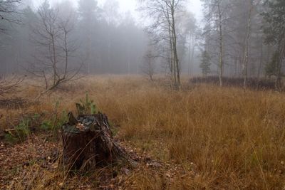
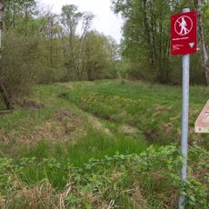
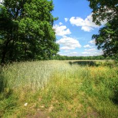
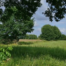
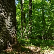
Schwarzes Moor bei Resse is a nature reserve located between Garbsen and Wedemark covering around 140 hectares of pine-birch bog forests and open moor areas with heather and cotton grass. The reserve connects to the Resser Stream in the east and the Auter River in the south through a system of drainage channels.
The moor formed around 3,000 years ago in a glacial landscape during the Saale glaciation, shaping the terrain over millennia. Peat extraction continued until the 1950s and left visible marks that define the current layout of the place.
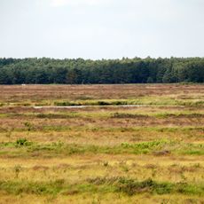
The area displays the typical pattern of a northern German moorland shaped by hand labor, with parallel drainage ditches and strips of woodland that create a distinctive landscape. Visitors walking through can still observe how this arrangement defines the visual character of the place today.
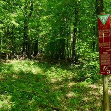
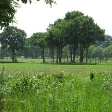
The reserve is easy to reach and offers pathways for walking through the moorland in different seasons. Spring and summer provide the most comfortable visiting conditions when the ground is drier and wildlife is most active.
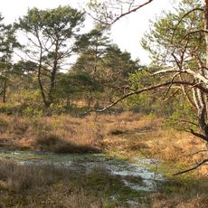
The central area contains a striking geological layer: a 1.2 meter thick band of black peat overlying white peat deposits, all resting on birch carr peat foundations. This layering reveals different phases of moor development stacked visibly one above the other.
The community of curious travelers
AroundUs brings together thousands of curated places, local tips, and hidden gems, enriched daily by 60,000 contributors worldwide.