
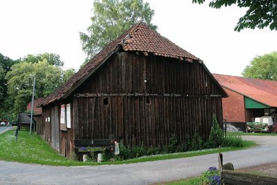
Duden-Rodenbostel, human settlement in Germany
Location: Wedemark
Elevation above the sea: 57 m
GPS coordinates: 52.57641,9.63685
Latest update: March 3, 2025 07:57
Brelinger Berg
2.9 km
Blankes Flat
4.6 km
St.-Osdag-Kirche (Mandelsloh)
5.1 km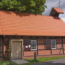
Johannes-Kapelle
6.6 km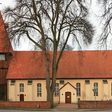
Helstorfer Kirche
3.7 km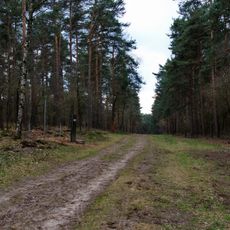
Bewegte Steine
3.6 km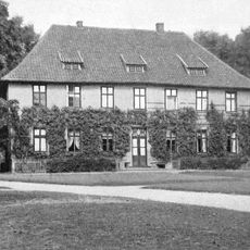
Rittergut Evensen
7.4 km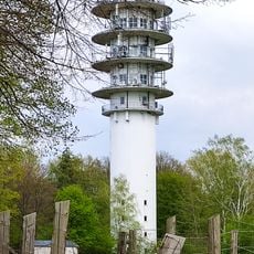
Fernmeldeturm Mellendorf
6.9 km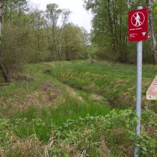
Helstorfer Moor
5.2 km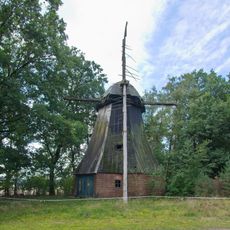
Abbenser Windmühle
2.6 km
St. Martini
3.9 km
Quellwald bei Bennemühlen
5.6 km
Unbeflecktes Herz Mariä
5.2 km
St. Georg
7.3 km
Helstorfer Altwasser
3.9 km
Johanniskapelle
1.9 km
Kapelle Esperke
6.7 km
Kapelle Negenborn
2.5 km
Grabkapelle der Familie von Bothmer
5.5 km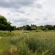
Brelinger Berge
2.4 km
Jürsenbach
2.8 km
Untere Leine
6.2 km
Blankes Moor
2 km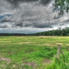
Warmeloher Heide
4.8 km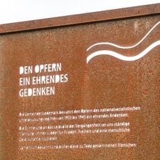
Memorial plaque to victims of national socialism in Wedemark
7.2 km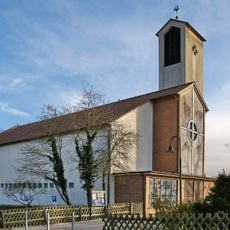
St.-Marien-Kirche
7.9 km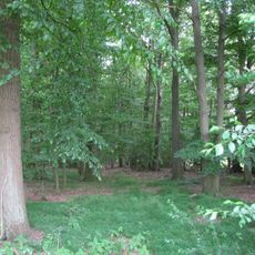
Quellwald bei Bennemühlen
5.6 km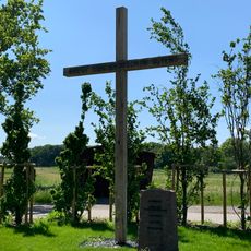
Kreuz des deutschen Ostens
6.7 kmReviews
Visited this place? Tap the stars to rate it and share your experience / photos with the community! Try now! You can cancel it anytime.
Discover hidden gems everywhere you go!
From secret cafés to breathtaking viewpoints, skip the crowded tourist spots and find places that match your style. Our app makes it easy with voice search, smart filtering, route optimization, and insider tips from travelers worldwide. Download now for the complete mobile experience.

A unique approach to discovering new places❞
— Le Figaro
All the places worth exploring❞
— France Info
A tailor-made excursion in just a few clicks❞
— 20 Minutes