
Erbprinzentanne, human settlement in Germany
Location: Clausthal-Zellerfeld
Elevation above the sea: 560 m
GPS coordinates: 51.83000,10.35220
Latest update: March 7, 2025 11:46
Neuer Grumbacher Teich
2.3 km
Upper Harz Water Regale
1.4 km
Bocksberg
3 km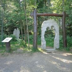
Liebesbank trail
3.1 km
Upper Harz Mining Museum
1.8 km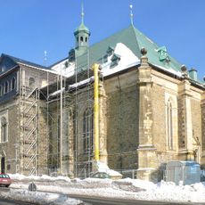
St Salvatoris
1.9 km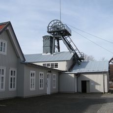
Emperor William Shaft
2.9 km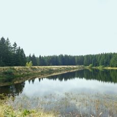
Zankwieser Teich
1.3 km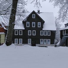
Altes Primarius-Pfarrhaus und Superintendentur Zellerfeld
1.9 km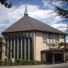
Church in Clausthal-Zellerfeld
3 km
Mittlerer Grumbacher Teich
2.1 km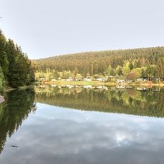
Oberer Grumbacher Teich
2.1 km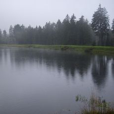
Kiefhölzer Teich
990 m
Oberer Spiegeltaler Teich
1.1 km
Mittlerer Kellerhalsteich
1.2 km
Unterer Kellerhalsteich
444 m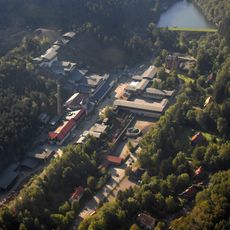
Mines of Rammelsberg, Historic Town of Goslar and Upper Harz Water Management System
1.4 km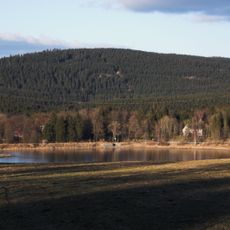
Stadtweger Teich
458 m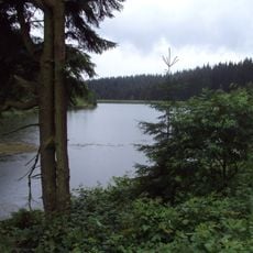
Oberer Kellerhalsteich
1.8 km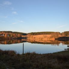
Unterer Eschenbacher Teich
2.1 km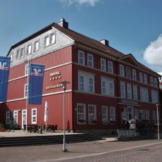
Hotel Goldene Krone
2.8 km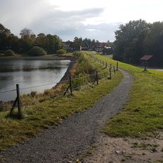
Unterer Hausherzberger Teich
2.2 km
Neuer Friedhof
3.1 km
Robert-Koch-Haus Clausthal
2.8 km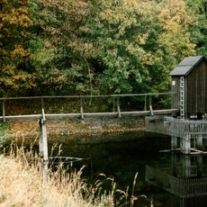
Carler Teich
2 km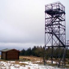
Schalke Observation Tower
2.9 km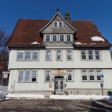
Bergapotheke in Zellerfeld
1.8 km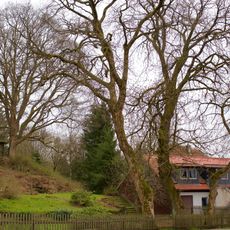
ND-GS 56 (Ahorngruppe)
1.9 kmReviews
Visited this place? Tap the stars to rate it and share your experience / photos with the community! Try now! You can cancel it anytime.
Discover hidden gems everywhere you go!
From secret cafés to breathtaking viewpoints, skip the crowded tourist spots and find places that match your style. Our app makes it easy with voice search, smart filtering, route optimization, and insider tips from travelers worldwide. Download now for the complete mobile experience.

A unique approach to discovering new places❞
— Le Figaro
All the places worth exploring❞
— France Info
A tailor-made excursion in just a few clicks❞
— 20 Minutes