Hochstein, Mountain summit in Bautzen District, Germany.
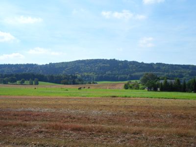
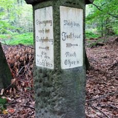
Hochstein is a mountain in the Upper Lusatian Highlands with an elevation of 448.9 meters and rocky cliffs at its summit. The area includes several marked hiking trails, including the Kammweg between Kleindehsa and Großpostwitz marked with blue blazes.
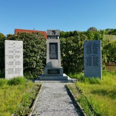
Archaeological investigations around 1900 revealed traces of Slavic and medieval activities, including a prehistoric circular fortification. During the 1758 conflict, the landscape served as a theater for military movements between Austrian and Prussian forces.
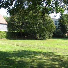
The summit sits along major hiking routes that bring people from different regions together and encourage connection. These paths shape how visitors experience the landscape and which places they link together.
The blue blazes of the Kammweg hiking trail help with navigation, and hikers should wear sturdy footwear as the routes cross steep sections and rocky terrain. Carrying a map or GPS device is useful for tracking the various routes through the highland area.
The Kriegsweg path south of the summit follows the historical march route where Austrian troops advanced against Prussian positions in 1758. This walking route today connects visitors with a specific place tied to that military history.
The community of curious travelers
AroundUs brings together thousands of curated places, local tips, and hidden gems, enriched daily by 60,000 contributors worldwide.