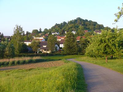
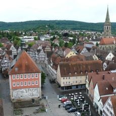
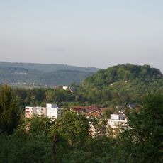
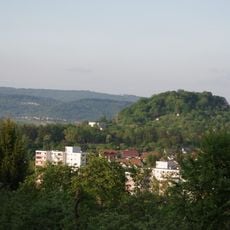
Ottilienberg, Mountain summit in Baden-Württemberg, Germany.
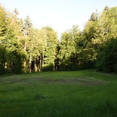
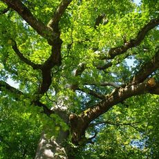
Ottilienberg is a mountain rising to approximately 348 meters (1,142 feet) in Baden-Württemberg with multiple walking trails on its slopes. The paths ascend through the landscape on various routes that lead to the summit.
The mountain has served as a geographical landmark throughout centuries of the region's history. Its importance as a natural reference point continues to define the landscape today.
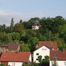
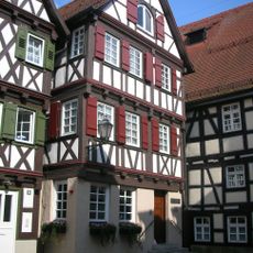
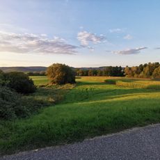
The summit serves as a popular hiking destination where locals regularly spend time outdoors and enjoy views across the surrounding landscape. It has become part of the everyday leisure activities for people living in the region.
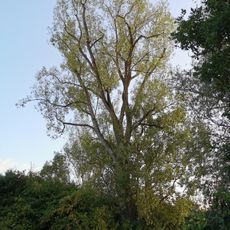
Multiple marked hiking trails lead to the summit with signage indicating the different routes clearly. Visitors should wear proper footwear and consider the season when planning their climb.
The mountain sits within a region containing several other peaks nearby, allowing hikers to combine multiple summits in one day. This geographical arrangement makes it a good starting point for longer hiking tours in the area.
Location: Baden-Württemberg
Elevation above the sea: 348 m
GPS coordinates: 48.79378,9.52559
Latest update: December 14, 2025 20:03
Evangelische Stadtkirche, Schorndorf
1.2 km
Burgschloss Schorndorf
1.2 km
Palmsche Apotheke
1.3 km
Skulpturen-Rundgang Schorndorf
1.1 km
Schorndorfer Rathaus
1.3 km
Galgenberg
1.6 km
Rehfeldsee
947 m
Villa Arnold, Schorndorf
1.5 km
Versöhnungskirche
385 m
Ottilienberg
27 m
Gesamtanlage Altstadt Schorndorf
1.3 km
Kuppe des Frauenberges (Galgenberg)
1.6 km
Galgenberg - Frauenberg
1.6 km
Pauluskirche
2.3 km
Birthplace Gottlieb Daimler
1.4 km
Heilig-Geist-Kirche
987 m
Stolperstein dedicated to Elisabeth Guttenberger
1.2 km
Mondscheinbrunnen (Jürgen Goertz)
1.3 km
Kleine Fluchten
1.8 km
Marktbrunnen (Schorndorf)
1.3 km
Remsbrücke am „Alter Baumwasen“
1.4 km
Heilig Kreuz Kirche (Weiler)
1.8 km
Waldwiese und Baumgruppe, Plüderhausen
2.3 km
Kaisereiche
2.2 km
Sportpark-Rems (Schorndorf)
2.5 km
Feuchtgebiete in den Rehwiesen
588 m
Schwarzpappel
973 m
Flurgehölz im Hof
781 mVisited this place? Tap the stars to rate it and share your experience / photos with the community! Try now! You can cancel it anytime.
Discover hidden gems everywhere you go!
From secret cafés to breathtaking viewpoints, skip the crowded tourist spots and find places that match your style. Our app makes it easy with voice search, smart filtering, route optimization, and insider tips from travelers worldwide. Download now for the complete mobile experience.
A unique approach to discovering new places❞
— Le Figaro
All the places worth exploring❞
— France Info
A tailor-made excursion in just a few clicks❞
— 20 Minutes