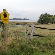
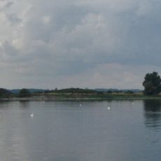
Stausee Farpen, reservoir
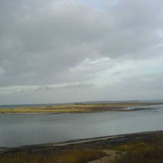
Stausee Farpen is a reservoir in northwestern Mecklenburg-Vorpommern covering around 47 hectares with a fork-like shape that branches into three arms. The water body sits between the municipalities of Blowatz and Neuburg in Nordwestmecklenburg district and maintains a water level of roughly 14.2 meters above sea level through its dam structure.
The Stausee Farpen was constructed in the late 1970s to store water from the Farpener Bach, a small stream in the region, and provide it for agricultural irrigation needs. The dam's construction was part of regional efforts to manage water supplies and control flooding across Mecklenburg-Vorpommern.
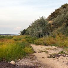
The area around the reservoir is accessible via well-maintained paths suitable for walks and hikes through peaceful woods and fields. Water levels can fluctuate depending on the season and water management practices, so checking local information before planning shore activities is advisable.
The reservoir has an uncommon fork-like shape with three separate arms that make it resemble a large fork when viewed from above. This distinctive geometry resulted from how the original stream courses were flooded by the dammed water.
The community of curious travelers
AroundUs brings together thousands of curated places, local tips, and hidden gems, enriched daily by 60,000 contributors worldwide.