Unter-Schönmattenwag, Rural district in Wald-Michelbach, Germany
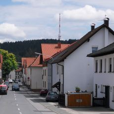
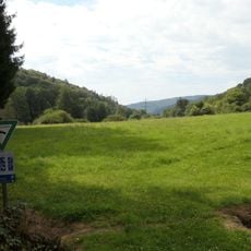
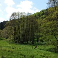
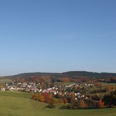
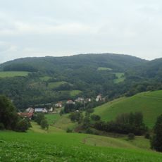
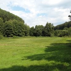
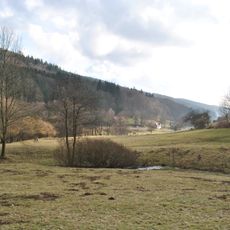
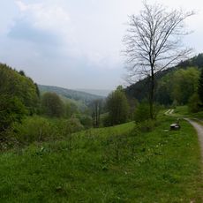
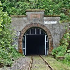
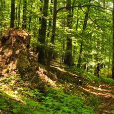
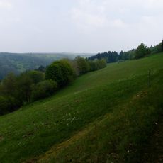
Unter-Schönmattenwag is a rural district in Wald-Michelbach located in southern Hesse's Odenwald region, stretching along the eastern side of the Ulfenbach river valley. The area sits at roughly 246 meters in elevation and is characterized by forests, farmland, and local roads that connect the settlement.
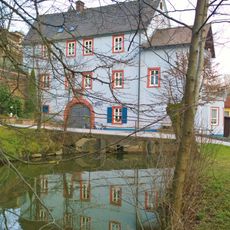
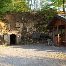
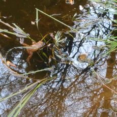
The settlement was first mentioned in writing in 1012 as Spumosum Stagnum, a Latin name referring to the foaming waters of the local river. Over the centuries, the area developed from a simple mill settlement into a rural residential district.
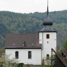
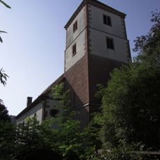
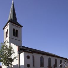
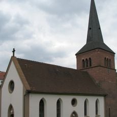
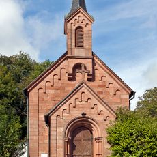
The community maintains its Catholic heritage through a local parish church, setting it apart from the Protestant character of neighboring Ober-Schönmattenwag. This religious tradition continues to shape daily community life and the character of the place.
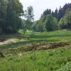
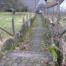
The area is accessible through the L3105 regional road, which runs along the Ulfenbach river valley from Aschbach to Heddesbach. Visitors should expect winding roads and can use local paths to explore the countryside on foot or by bike.
The name Spumosum Stagnum originally referred to the river's power as it flowed particularly turbulent through this valley. This ancient designation shows how early inhabitants defined their surroundings through the natural forces they experienced daily.
The community of curious travelers
AroundUs brings together thousands of curated places, local tips, and hidden gems, enriched daily by 60,000 contributors worldwide.