Gahlenscher Kohlenweg, Historic coal transportation road in North Rhine-Westphalia, Germany
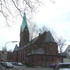
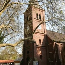
The Gahlenscher Kohlenweg is a historic road in North Rhine-Westphalia that once connected coal mining areas to the Lippe River port. The route today follows federal highways 226 and 224 through the Ruhr region between Bochum and Dorsten.
Built in 1766, this road became the first paved street in the Ruhr region, making coal transport from Stiepel through several towns to Gahlen much easier. The route fundamentally changed the economic connection between rural areas and emerging industrial centers.
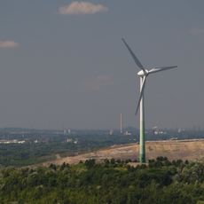
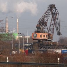
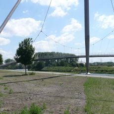
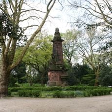
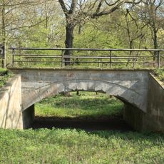
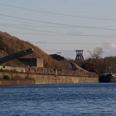
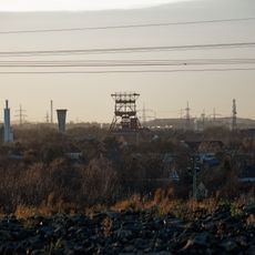
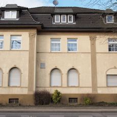
The road reflects the region's shift toward industrial production, with monuments like the Fleuthebrücke marking this transformation along its path. Visitors today can observe how this route connected rural communities with the growing industrial economy.
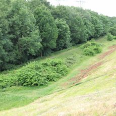
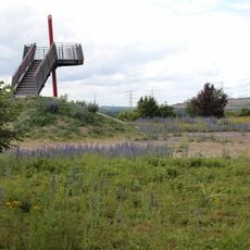
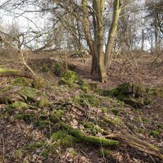
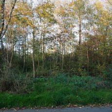
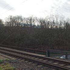
The historic route can be explored on foot or by bike along public roads today and runs through flat terrain that is easy to access. Visitors should expect that larger sections of the route now go through modern traffic roads, which can make the original path difficult to follow in places.
Workers from Vest Recklinghausen provided manual labor to build this road under the direction of entrepreneur Johann Wilhelm Müser. This local involvement made the project a shared effort between business leaders and local farmers of the region.
The community of curious travelers
AroundUs brings together thousands of curated places, local tips, and hidden gems, enriched daily by 60,000 contributors worldwide.