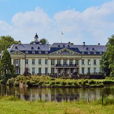
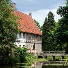
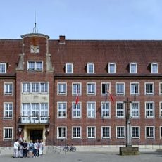
Ludgerusburg, 17th-century castle in Coesfeld, Germany
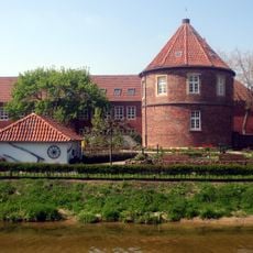
Ludgerusburg is a 17th-century fortress in Coesfeld built with a square layout and four corner bastions, each housing a gun emplacement. A substantial moat encircles the entire structure and remains one of its most defining features.
Built in 1655 under Prince-Bishop Christoph Bernhard von Galen, the fortress emerged as a strategic defense after the Thirty Years' War ended the region's turbulent conflicts. Its construction marked an effort to secure the territory and project the power of the Munster principality.
The fortress takes its name from Saint Ludger, the first bishop of the Munster Diocese, showing how deeply religion shaped the region's architecture. The name links the structure to local spiritual history and reminds visitors of how closely religious and political power were connected.
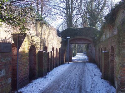
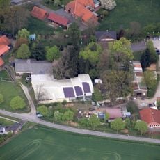
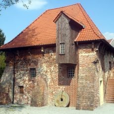
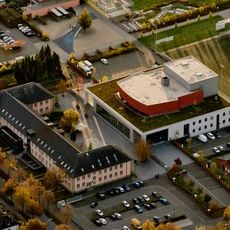
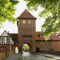
The ruins are visible in a city park along Osterwicker Street in northern Coesfeld, where visitors can explore the preserved gatehouse at the entrance. The location is easy to reach and offers a pleasant walk through green areas with historical remains.
The St. Johannes Ravelin north of the railway line stands as one of the few surviving sections of the original military compound with its distinctive outwork design. This component reveals how the defense system was originally conceived and constructed.
The community of curious travelers
AroundUs brings together thousands of curated places, local tips, and hidden gems, enriched daily by 60,000 contributors worldwide.