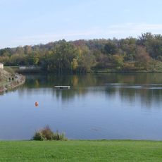
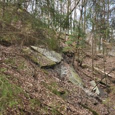
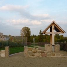
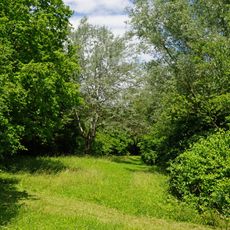
Oberes Zabergäu GVV, municipality administration association in the district Heilbronn, Baden-Württemberg, Germany
Location: Heilbronn
Inception: 1975
GPS coordinates: 49.06667,9.00000
Latest update: March 2, 2025 23:52
Ehmetsklinge
6.4 km
Michaelsberg
4.6 km
Schloss Stocksberg
2.5 km
Burg Blankenhorn
2.9 km
Weißer Steinbruch
3.8 km
Burg Ochsenburg
7.7 km
Schloss Zaberfeld
5.4 km
Raphaelskirche
3.8 km
Zehnthaus
2.3 km
Schlösschen Michelbach
4.2 km
St. Lambertus Pfaffenhofen
1.8 km
Michaelsberg
4.6 km
St. Ulrich
2.3 km
Römermuseum Güglingen
704 m
Kanzelbuche
9.7 km
Mauritiuskirche (Güglingen)
80 m
Jakobuskirche (Leonbronn)
7.8 km
Marienkirche
2.1 km
Martinskirche
1.9 km
Evangelische Kirche Zaberfeld
5.4 km
Georgskirche
4.1 km
Heilige Dreifaltigkeit
699 m
Spitzenberg-Michelbach-Baiershälde
4.6 km
Altes Rathaus (Güglingen)
35 m
Kirche zum heiligen Kreuz
3.7 km
Römermuseum
37 m
Weinberghang südlich und nordöstlich des Schlosses Stocksberg
2.6 km
Feuchtgebiet beim Michelbachsee
4.2 kmReviews
Visited this place? Tap the stars to rate it and share your experience / photos with the community! Try now! You can cancel it anytime.
Discover hidden gems everywhere you go!
From secret cafés to breathtaking viewpoints, skip the crowded tourist spots and find places that match your style. Our app makes it easy with voice search, smart filtering, route optimization, and insider tips from travelers worldwide. Download now for the complete mobile experience.
A unique approach to discovering new places❞
— Le Figaro
All the places worth exploring❞
— France Info
A tailor-made excursion in just a few clicks❞
— 20 Minutes