Großer Gleichberg, Mountain summit in Thuringia, Germany
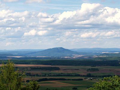
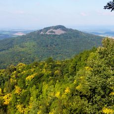
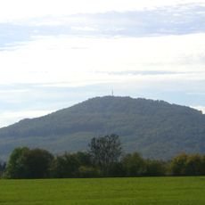
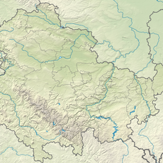
Großer Gleichberg is a mountain summit in Thuringia, eastern Germany, rising to 679 meters near the town of Römhild. It forms a pair with the nearby Kleiner Gleichberg, and the two forested summits together make up the Gleichberge range.
From 1968 to 1991, the summit was used as a restricted military zone where Soviet forces ran a radio and radar station. Before that, basalt quarrying on the slopes continued until 1981, with stone transported down via a cableway system.
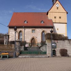
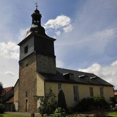
Locals call this peak 'Gleichberg' in reference to its paired mountains, and the name echoes through the region's identity. You can see how hikers and locals treat these slopes as part of their weekend routine, walking trails that connect the two summits.
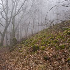
Marked hiking trails start from several points around Römhild and lead to the summit through forested slopes. Spring and fall tend to offer the best walking conditions, as paths stay dry and the tree cover is less dense.
Großer Gleichberg sits within the Heldburger Gangschar, a tertiary volcanic field, and its rock faces expose clear basalt formations from that period. This volcanic origin is directly why the mountain attracted quarrying operations for so many decades.
The community of curious travelers
AroundUs brings together thousands of curated places, local tips, and hidden gems, enriched daily by 60,000 contributors worldwide.