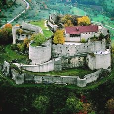
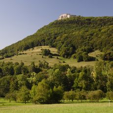
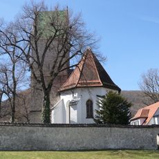
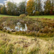
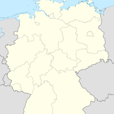
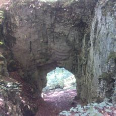
Heidengraben, Archaeological site in Baden-Württemberg, Germany
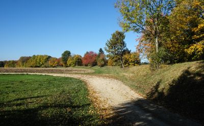
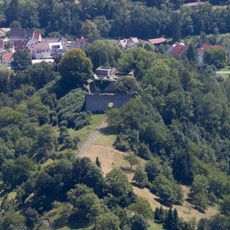
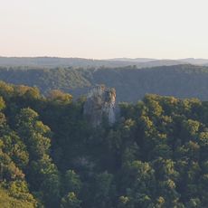
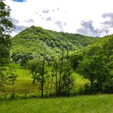
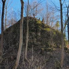
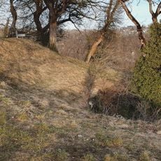
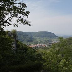
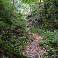
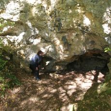
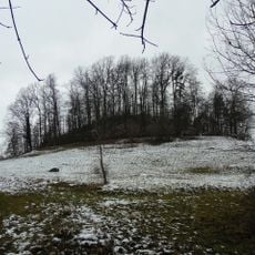
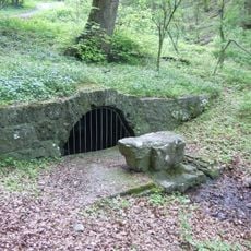
Heidengraben is a large archaeological site on the Swabian Jura plateau containing remains of ancient fortifications including walls, moats, and multiple entrance gates spread across the landscape. The terrain shows how these defensive structures were integrated into the natural topography of the region.
The settlement developed during the Iron Age and functioned as a Celtic fortification from the mid-2nd century BC until around 100 BC. The site was eventually abandoned and saw only sporadic use afterward.
The site reveals layers of occupation spanning thousands of years, with traces of different peoples who settled here at various times. Walking across the landscape shows how communities lived here one after another, leaving marks that visitors can still observe today.
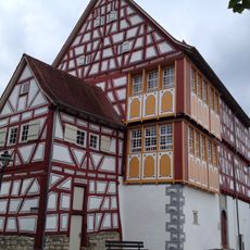
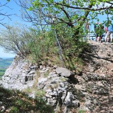
Visitors can explore the site on marked hiking trails, particularly the Achsnagelweg, which passes through different sections of the fortifications. A small museum in nearby Grabenstetten displays artifacts and provides context for understanding what you see on the ground.
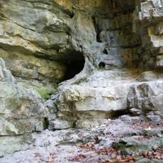
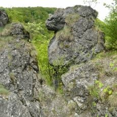
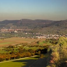
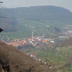
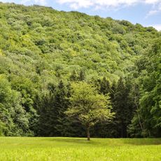
The site ranks among Europe's largest Celtic fortifications and incorporates the natural cliff face of the Jura as a built-in defensive barrier. This combination of human-made structures and natural geography makes the place remarkably effective as a stronghold.
The community of curious travelers
AroundUs brings together thousands of curated places, local tips, and hidden gems, enriched daily by 60,000 contributors worldwide.