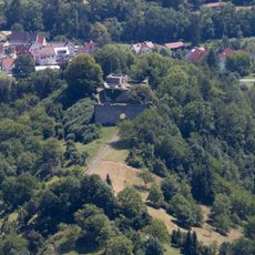
Ruine Wielandstein, Medieval castle ruin in Lenningen, Germany
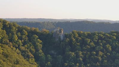
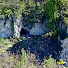
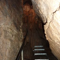
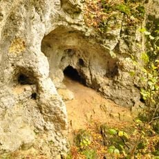
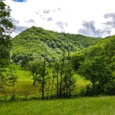
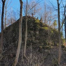
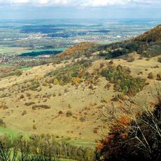
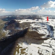
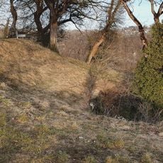
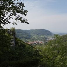
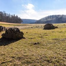
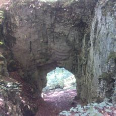
Ruine Wielandstein is a medieval castle complex comprising several separate structures positioned along a rocky ridge above the Tobel Valley in Baden-Württemberg. The remains include foundation walls and expanded cellars built during different construction phases.
The original fortifications, Alt-Wielandstein and Hinterer Wielandstein, were built around 1150 and served as residences for knights of the Dukes of Teck. Structures were expanded and modified after the 13th century until they eventually lost their importance.
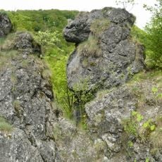
The name comes from a legendary blacksmith in Germanic mythology, reflecting an old connection between craftsmanship and power. Visitors can see traces of walls from different building periods that show how the fortress evolved over generations.
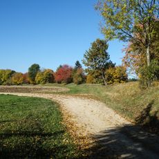
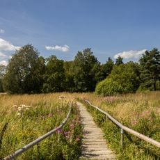
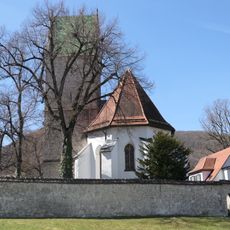
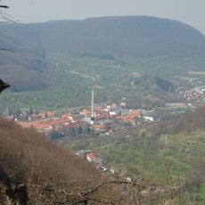
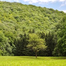
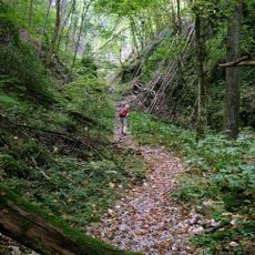
The site sits at 671 meters elevation and is reachable via hiking trails from Lenningen. Information panels on-site explain the layout and help with finding your way around the grounds.
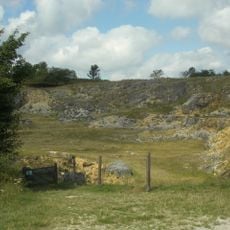
After 1553 the grounds were turned into a stone quarry once the municipality of Oberlenningen acquired the deteriorating structures. Stone extraction continued for years and shaped how the ruins appear today.
The community of curious travelers
AroundUs brings together thousands of curated places, local tips, and hidden gems, enriched daily by 60,000 contributors worldwide.