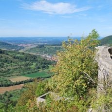
Schopflocher Moor, Nature reserve in Lenningen and Bissingen an der Teck, Germany.
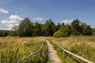
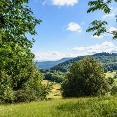
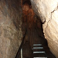
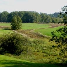
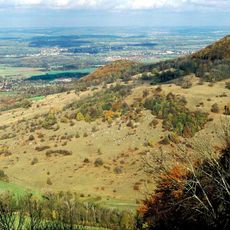
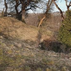
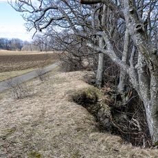
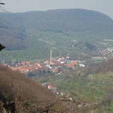
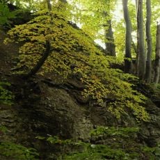
Schopflocher Moor is a nature reserve in the Lenningen and Bissingen an der Teck area with peatland, forested sections, and open meadows. The site features wooden boardwalks and walking paths that connect different landscape zones throughout the protected area.
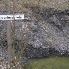
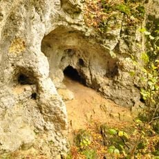
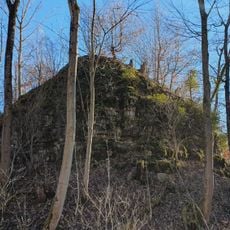
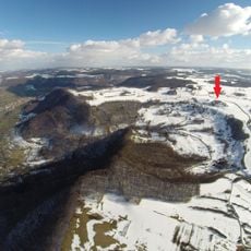
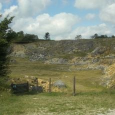
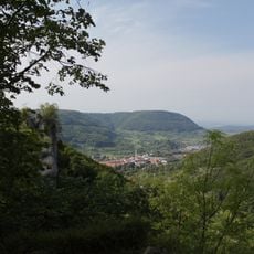
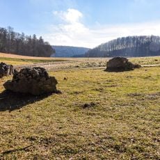
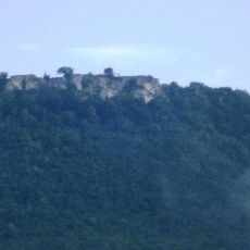
The moor formed over 10,000 years from an ancient crater lake created by volcanic activity 17 million years ago. Protection arrived in 1942, conserving a landscape shaped by deep geological processes that stretched back millions of years.
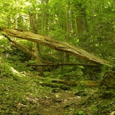
Visitors walk across wooden boardwalks to experience the open moorland and observe specialized plants adapted to wet conditions. The landscape itself serves as a living classroom where people connect with a natural environment shaped by local geology.
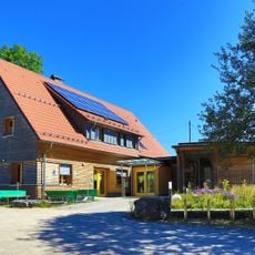
The reserve can be accessed through parking areas with trail options of varying lengths to suit different visitors. Wooden boardwalks provide safe passage over wet ground while allowing clear views of the landscape.
This is the only highland moor in the entire Swabian Alb region, making it a botanical rarity in the area. Visitors can observe plant species here that normally grow in locations far to the north.
Location: Lenningen
Location: Bissingen an der Teck
Inception: 1942
GPS coordinates: 48.56240,9.52038
Latest update: December 12, 2025 09:03
Randecker Maar
1.3 km
Posidonia Shale
1.6 km
Breitenstein
2.7 km
Ruine Diepoldsburg
2.6 km
Gutenberger Höhle
2.2 km
Neidlinger Wasserfall
3.2 km
Ruine Wielandstein
3 km
Gußmannshöhle
2.2 km
Burg Hahnenkamm
3.3 km
Mittlere Schwäbische Alb
13 m
Wolfsschluchthöhle
2.1 km
Ruine Hohengutenberg
3 km
Eichhalde
2.7 km
Randecker Maar Research Station
712 m
Naturschutzzentrum Schopflocher Alb
1.6 km
Ruine Wuelstein
2.7 km
Unter dem Burz
2.1 km
Steinbruch Lauster
1.5 km
Heidenloch
2.1 km
Gebiete um Bissingen und Ochsenwang
2.5 km
Randecker Maar mit Zipfelbachschlucht
1.3 km
Pferch
1.5 km
Tobeltal mit Mittagsfels und Wielandstein
2.8 km
LSG 'Landschaftsbestandteile und Landschaftsteile im Landkreis Nürtingen' vom 22.10.1942
2.2 km
LSG 'Albtrauf Oberlenningen' vom 16.05.1973
2.6 km
Abgesunkene Felsmassen (Felsenkessel des Pferchs)
2.5 km
Felspartie des Breitenstein
2.6 km
Neidlinger Wasserfall und Fließgewässer im Gewann Pfanne
3.2 kmVisited this place? Tap the stars to rate it and share your experience / photos with the community! Try now! You can cancel it anytime.
Discover hidden gems everywhere you go!
From secret cafés to breathtaking viewpoints, skip the crowded tourist spots and find places that match your style. Our app makes it easy with voice search, smart filtering, route optimization, and insider tips from travelers worldwide. Download now for the complete mobile experience.
A unique approach to discovering new places❞
— Le Figaro
All the places worth exploring❞
— France Info
A tailor-made excursion in just a few clicks❞
— 20 Minutes