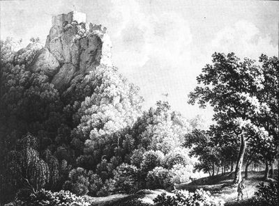
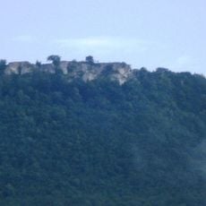
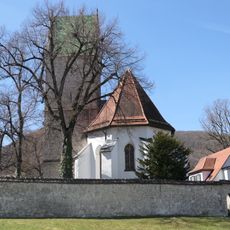
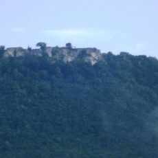
Ruine Diepoldsburg, Medieval castle ruin in Lenningen, Germany
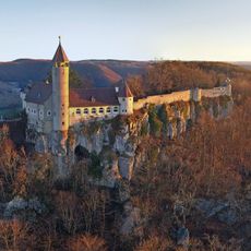
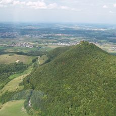
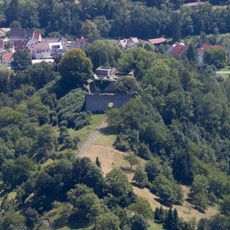
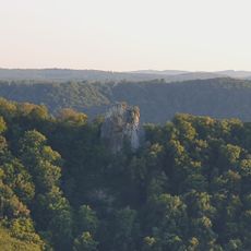
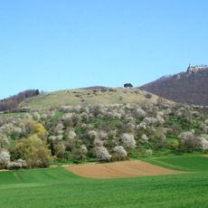
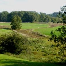
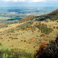
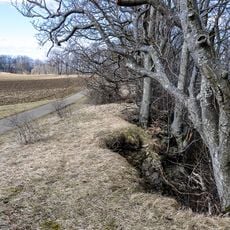
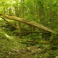
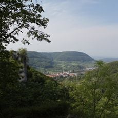
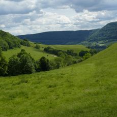
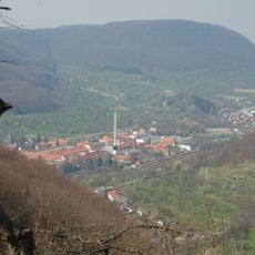
Ruine Diepoldsburg consists of two separate castle structures positioned on a rocky ridge approximately 780 meters above the Lauter Valley in Baden-Württemberg. Both sections are accessible through marked forest trails and partially connected by a wooden bridge.
The fortress was built around 1210 by the Knights of Diepoldsburg, with Ulrich de Diepoltsburc documented as owner in 1215. The Dukes of Teck acquired the site in 1297 and shaped its later development.
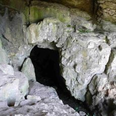
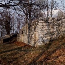
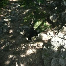
The ruin displays medieval fortification design with preserved ring walls and water systems that shaped life at this elevation. Visitors can read in the remaining structures how people organized and defended their stronghold on this hilltop.
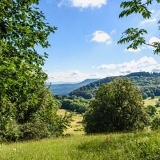
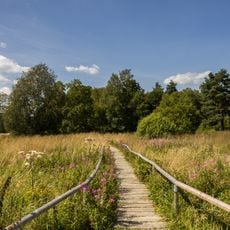
A visit requires sturdy shoes for the forest trails on the wooded slope, as paths are sometimes steep and can be slippery after rain. Spring through autumn offers the best conditions for exploring, when vegetation does not block the way.
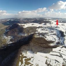
The lower castle section earned the name Rauber and served as a robber baron stronghold, situated roughly 45 meters below the main fortress. Its walls demonstrate that this lower area was independently fortified despite its secondary position.
The community of curious travelers
AroundUs brings together thousands of curated places, local tips, and hidden gems, enriched daily by 60,000 contributors worldwide.