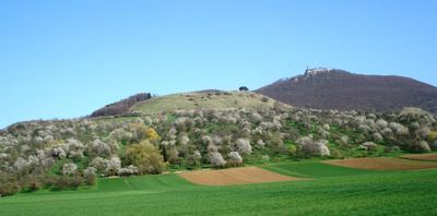
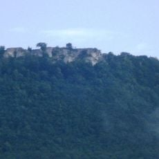
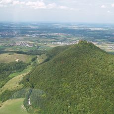
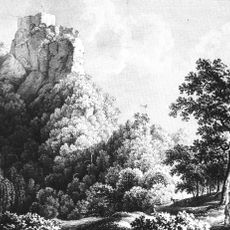
Hohenbol, Mountain summit in Baden-Württemberg, Germany.
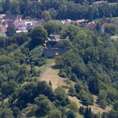
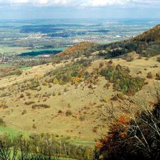
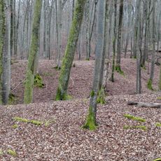
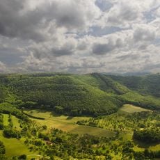
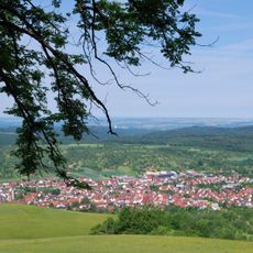
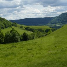
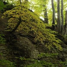
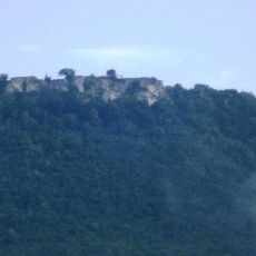
Hohenbol rises to 602 meters above sea level as part of the Swabian Jura range, featuring distinctive black pine clusters on its exposed rocky summit and offering panoramic views across the surrounding countryside of southwestern Germany.
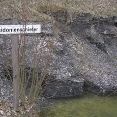
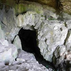
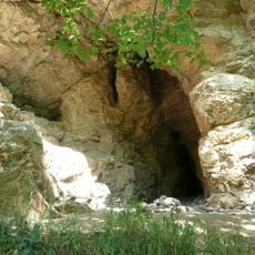
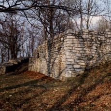
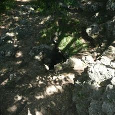
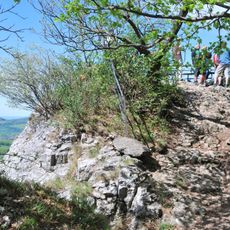
The mountain represents a volcanic remnant from the Miocene epoch, formed when ancient volcanic vents erupted in this region approximately 15 million years ago, creating one of 355 known volcanic structures in the Urach volcanic field.
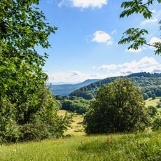
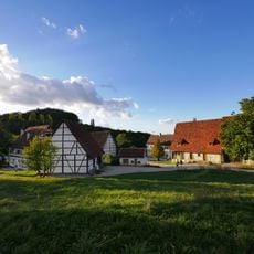
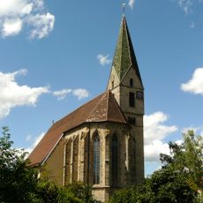
Local hikers and nature enthusiasts regularly visit Hohenbol for family outings and educational programs, while photographers frequent the summit to capture sunrise and sunset views over the wooded and agricultural landscapes of Baden-Württemberg.
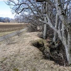
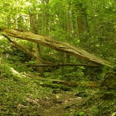
Well-marked hiking trails from nearby villages like Owen provide access to the summit for visitors of all skill levels, with informational panels explaining the geological features and weather considerations affecting visibility throughout different seasons.
The mountain's volcanic origins make it a textbook example of Miocene-era vent formation, where resistant volcanic materials pushed through surrounding rocks and remain exposed today while softer materials eroded away over millennia.
The community of curious travelers
AroundUs brings together thousands of curated places, local tips, and hidden gems, enriched daily by 60,000 contributors worldwide.