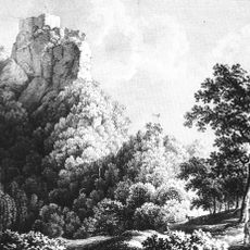
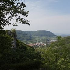
Mittlere Schwäbische Alb, Nature reserve and special protection area in Baden-Württemberg, Germany
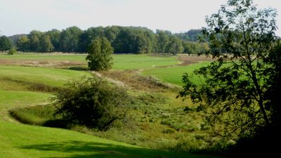
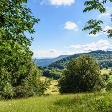
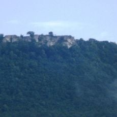
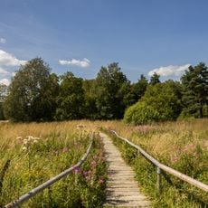
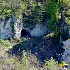
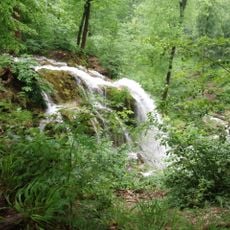
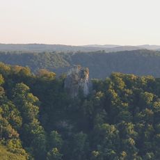
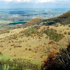
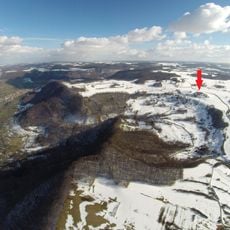
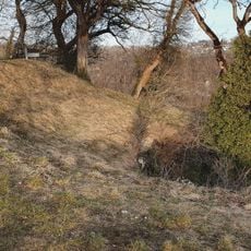
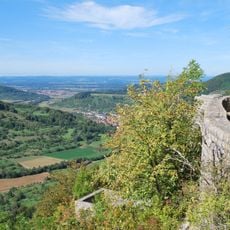
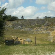
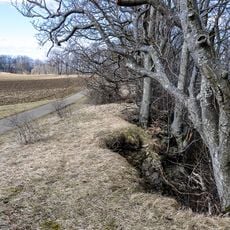
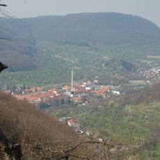
The Mittlere Schwäbische Alb is a large protected area spanning six districts in Baden-Württemberg that combines rolling hills with forests, meadows, and karst landscapes. The terrain is riddled with caves and supports scattered fruit trees across its slopes and plateaus.
The area was officially designated as a protected zone in 2001 to preserve its natural diversity and wildlife. This recognition followed growing awareness of the region's ecological importance.
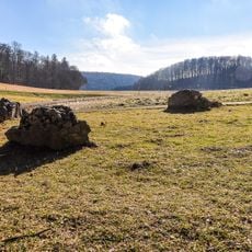
The region is known for its scattered fruit orchards where apple and pear varieties grow, shaping local crafts and food traditions. This landscape of dispersed trees represents one of the area's oldest cultural forms and reflects generations of human stewardship.
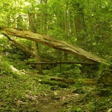
The terrain can be explored on foot or by bicycle using well-developed trails that wind through varying elevations. Sturdy footwear is recommended since the ground is varied and sometimes steep.
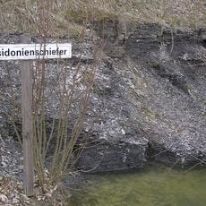
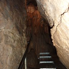
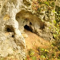
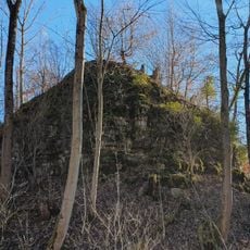
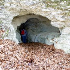
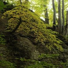
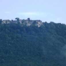
The area houses an exceptional number of over 400 caves formed in karst landscapes that reveal the region's geological history. These caverns combined with the fruit orchards create a rare combination that sets the region apart in Europe.
Location: Alb-Donau-Kreis
Location: Esslingen
Location: Göppingen
Location: Reutlingen
Location: Tübingen
Location: Zollernalb
Inception: 2001
GPS coordinates: 48.56250,9.52028
Latest update: December 14, 2025 17:40
Randecker Maar
1.3 km
Posidonia Shale
1.6 km
Breitenstein
2.7 km
Ruine Diepoldsburg
2.6 km
Schopflocher Moor
13 m
Gutenberger Höhle
2.2 km
Neidlinger Wasserfall
3.2 km
Ruine Wielandstein
3 km
Gußmannshöhle
2.2 km
Burg Hahnenkamm
3.3 km
Wolfsschluchthöhle
2.2 km
Ruine Hohengutenberg
3 km
Eichhalde
2.7 km
Randecker Maar Research Station
704 m
Naturschutzzentrum Schopflocher Alb
1.6 km
Ruine Wuelstein
2.7 km
Unter dem Burz
2.1 km
Steinbruch Lauster
1.5 km
Heidenloch
2.1 km
Gebiete um Bissingen und Ochsenwang
2.5 km
Randecker Maar mit Zipfelbachschlucht
1.3 km
Pferch
1.5 km
Tobeltal mit Mittagsfels und Wielandstein
2.8 km
LSG 'Landschaftsbestandteile und Landschaftsteile im Landkreis Nürtingen' vom 22.10.1942
2.3 km
LSG 'Albtrauf Oberlenningen' vom 16.05.1973
2.6 km
Abgesunkene Felsmassen (Felsenkessel des Pferchs)
2.4 km
Felspartie des Breitenstein
2.6 km
Neidlinger Wasserfall und Fließgewässer im Gewann Pfanne
3.2 kmVisited this place? Tap the stars to rate it and share your experience / photos with the community! Try now! You can cancel it anytime.
Discover hidden gems everywhere you go!
From secret cafés to breathtaking viewpoints, skip the crowded tourist spots and find places that match your style. Our app makes it easy with voice search, smart filtering, route optimization, and insider tips from travelers worldwide. Download now for the complete mobile experience.
A unique approach to discovering new places❞
— Le Figaro
All the places worth exploring❞
— France Info
A tailor-made excursion in just a few clicks❞
— 20 Minutes