
Hustadt, quarter of Bochum, Germany
Location: Bochum-Süd (district)
Shares border with: Bochum-Laer, Bochum-Ost (district), Langendreer, Langendreer-Alter Bahnhof
GPS coordinates: 51.45390,7.27000
Latest update: April 25, 2025 11:37
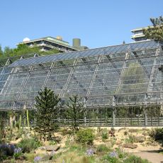
Botanischer Garten der Ruhr-Universität Bochum
1.3 km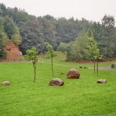
Geologischer Garten Bochum
3 km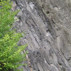
Klosterbusch mine
1.6 km
Haus Laer
1 km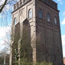
Medizinhistorische Sammlung der Ruhr-Universität Bochum
2.5 km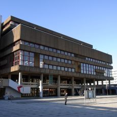
Kunstsammlungen der Ruhr-Universität Bochum
1.2 km
Dr.-Gerhard-Petschelt-Brücke
1.1 km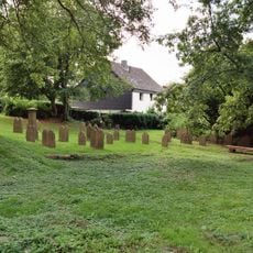
Friedhof Uemmingen
2.1 km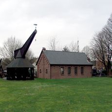
Hebezeug-Museum
2.6 km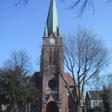
Our Lady Church
2.6 km
Johanneskirche
2.8 km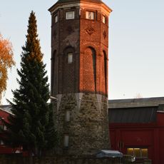
Wasserturm der Firma Luhn & Pulvermacher und Dittmann & Neuhaus
3.1 km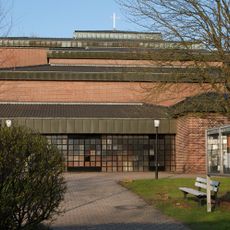
St. Albertus Magnus
3.2 km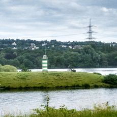
Leuchtturm Kemnader See
2.6 km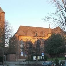
St. Johannes (Bochum)
2.6 km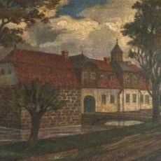
Haus Brenschede
2.8 km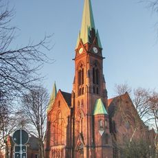
Petrikirche (Bochum)
2.9 km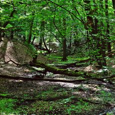
Königsbüscher Wäldchen
910 m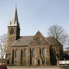
Evangelische Kirche Heven
3.1 km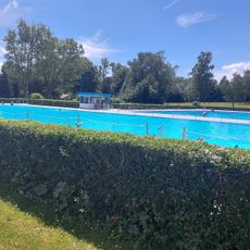
Wasserwelten Langendreer
3.3 km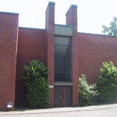
St. Paulus
405 m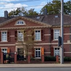
Amtshaus Altenbochum
3.2 km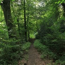
Waldsiepen Hevener Straße – Im Lottental
1.9 km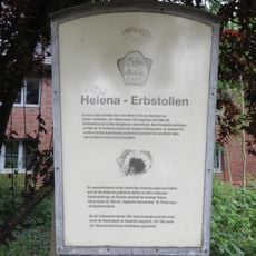
Helena Erbstolln
3 km
Zentralfriedhof Bochum
3 km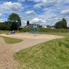
Urban blue Wasser- und FreizeitWelt Langendreer
3.3 km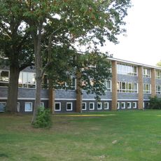
Hellwegschule
3 km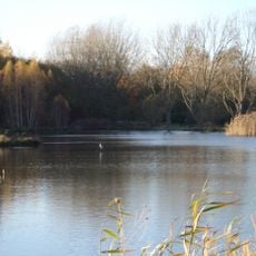
LSG-Uemminger See in Bochum-Ost, 4, Laer/Werne/Langendreer
2.3 kmReviews
Visited this place? Tap the stars to rate it and share your experience / photos with the community! Try now! You can cancel it anytime.
Discover hidden gems everywhere you go!
From secret cafés to breathtaking viewpoints, skip the crowded tourist spots and find places that match your style. Our app makes it easy with voice search, smart filtering, route optimization, and insider tips from travelers worldwide. Download now for the complete mobile experience.

A unique approach to discovering new places❞
— Le Figaro
All the places worth exploring❞
— France Info
A tailor-made excursion in just a few clicks❞
— 20 Minutes