Häger, human settlement in Germany
Location: Werther
Elevation above the sea: 153 m
GPS coordinates: 52.09790,8.45291
Latest update: March 3, 2025 11:11
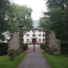
Schloss Königsbrück
5 km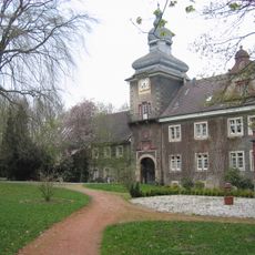
Schloss Mühlenburg
4.7 km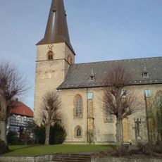
St. Jacobi Werther
3.9 km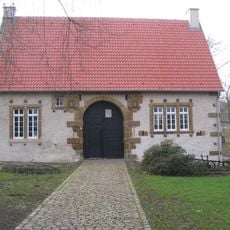
Haus Werburg
5.1 km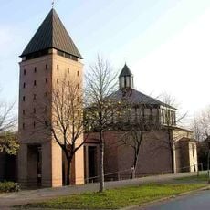
Heilig-Geist-Kirche
6.4 km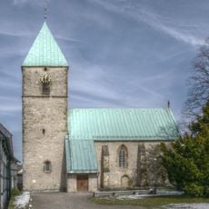
St. Peter Kirchdornberg
5.9 km
Marienkirche
4.9 km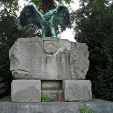
Grafschaftsdenkmal
4.7 km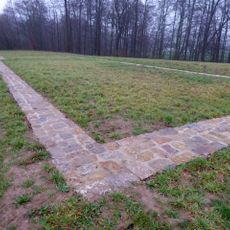
Kloster Müdehorst
5 km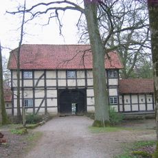
Gut Warmenau
6.1 km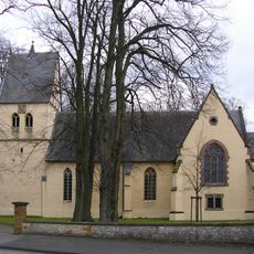
St. Marien (Wallenbrück)
5.8 km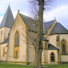
Martinskirche
5.6 km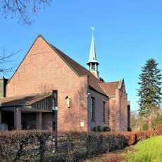
Liebfrauenkirche
4.9 km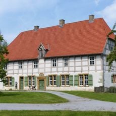
Werburg-Museum Spenge
5.2 km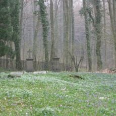
Knüll/Storkenberg
6.3 km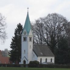
Bethlehemskirche (Rotenhagen)
3.2 km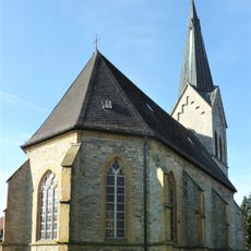
St Anne's Church
6.1 km
Evangelisch-lutherische Kirche Westerenger
6.3 km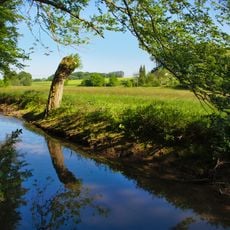
Schwarzbachtal
3.8 km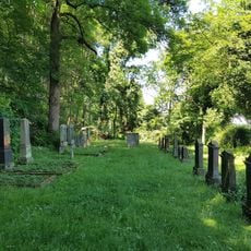
Jüdischer Friedhof (Werther (Westf.))
4.3 km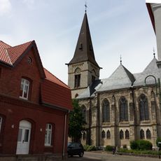
Christophoruskirche
6.1 km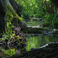
Mittleres Johannisbachtal
5.4 km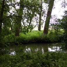
Warmenau-Ufer
5.7 km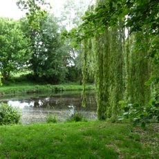
Brennenheide
4.8 km
Osning
5.9 km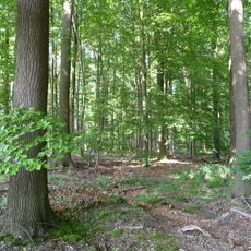
Waldgebiet bei Neuenkirchen
6.5 km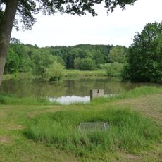
Königsbrück
5.1 km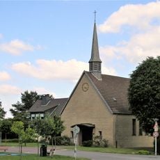
Evangelische Kirche Häger (Werther)
257 mVisited this place? Tap the stars to rate it and share your experience / photos with the community! Try now! You can cancel it anytime.
Discover hidden gems everywhere you go!
From secret cafés to breathtaking viewpoints, skip the crowded tourist spots and find places that match your style. Our app makes it easy with voice search, smart filtering, route optimization, and insider tips from travelers worldwide. Download now for the complete mobile experience.

A unique approach to discovering new places❞
— Le Figaro
All the places worth exploring❞
— France Info
A tailor-made excursion in just a few clicks❞
— 20 Minutes