
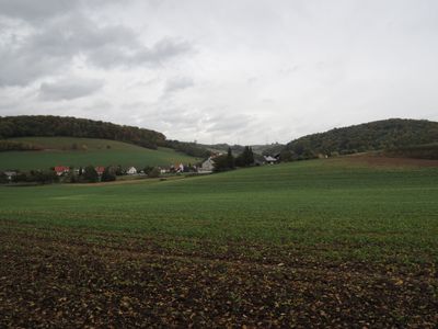
Imshausen, human settlement in Germany
Location: Bebra
Elevation above the sea: 268 m
GPS coordinates: 50.99750,9.86165
Latest update: April 21, 2025 07:37
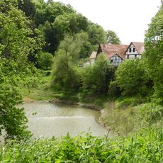
Denser See
4.3 km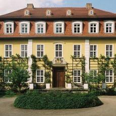
Schloss Imshausen
115 m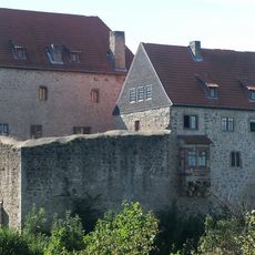
Burg Tannenberg
6.3 km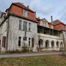
Schloss Rittershain
7 km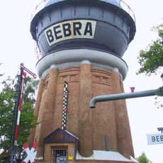
Wasserturm Bebra
5.5 km
Wasserburg Lispenhausen
6.6 km
Wasserburg Schwarzenhasel
7 km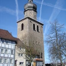
Auferstehungskirche Bebra
5.8 km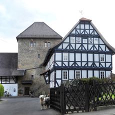
Wohnturm Berneburg
6.9 km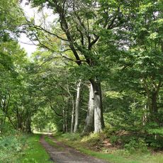
Wald südöstlich Nentershausen
6.9 km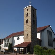
St. Marien
5.6 km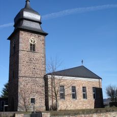
Kirche
7 km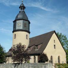
Evangelische Kirche Nentershausen
5.4 km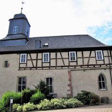
Kirche Iba
2.2 km
Evangelische Kirche
4.9 km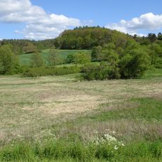
Sorgwiesen bei Weißenhasel
6.2 km
Wacholderberg und Schmiedsberg bei Dens
3.8 km
Naturschutzgebiet „Auf dem Ried bei Iba“
2.7 km
Haselgrund bei Schwarzenhasel
6.4 km
Tannenberg Nentershausen
6 km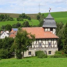
Evangelische Kirche Mönchhosbach
5.3 km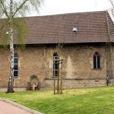
Bergkirche
3.3 km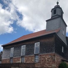
Evangelische Kirche (Freudenthal)
5.2 km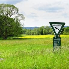
Ulfewiesen bei Weiterode
5.7 km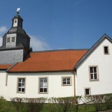
Evangelische Kirche
6.5 km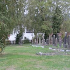
Jüdischer Friedhof Bebra
5.7 km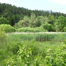
Unterm Siegel bei Bebra
3.8 km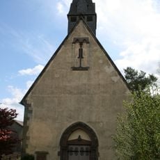
Evangelische Kirche Bebra-Braunhausen
2.2 kmReviews
Visited this place? Tap the stars to rate it and share your experience / photos with the community! Try now! You can cancel it anytime.
Discover hidden gems everywhere you go!
From secret cafés to breathtaking viewpoints, skip the crowded tourist spots and find places that match your style. Our app makes it easy with voice search, smart filtering, route optimization, and insider tips from travelers worldwide. Download now for the complete mobile experience.

A unique approach to discovering new places❞
— Le Figaro
All the places worth exploring❞
— France Info
A tailor-made excursion in just a few clicks❞
— 20 Minutes