Uellendahl-Katernberg, Administrative district in Wuppertal, Germany.
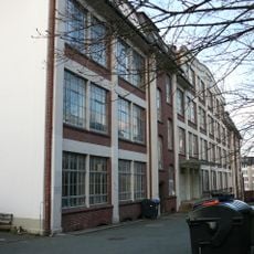
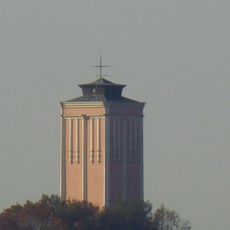
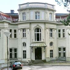
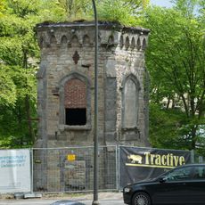
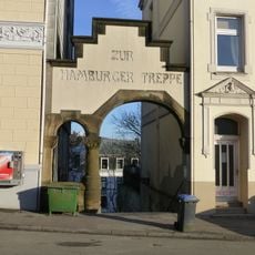
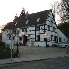
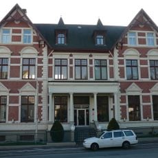
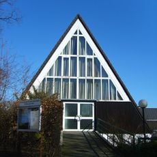
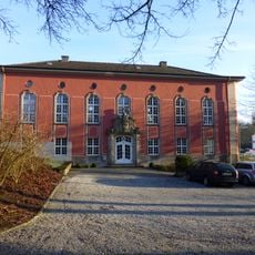
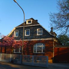
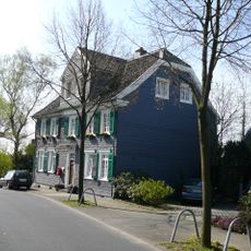
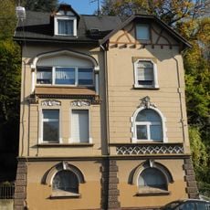
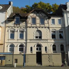
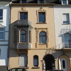
Uellendahl-Katernberg is a city district in Wuppertal containing several residential neighborhoods, historic structures, and religious buildings distributed across varying elevations. The area displays a mix of older architecture and modern developments that form the fabric of daily life across its different communities.
Settlement in this district began around 1400 on agricultural land that later transformed through industrial growth in the region. Population expanded significantly as factories developed and housing increased, making the area an integral part of the city's urban development.
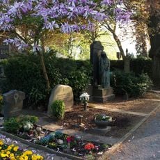
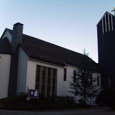
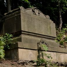
The Jewish Cemetery at Weinberg serves as a restored memorial reflecting the area's diverse religious past. St Michael's Church stands as the main Catholic place of worship, shaping the spiritual and visual character of the neighborhoods.
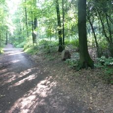
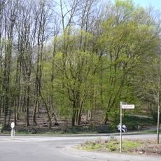
This district spans varying elevations and is best explored in sections on foot since longer walks become steeper in places. Visitors should research which areas match their interests beforehand to spend time efficiently.
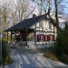
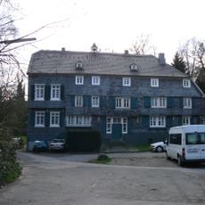
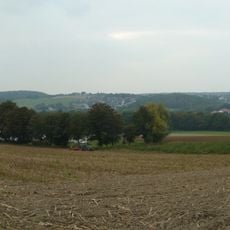
The Dönberg neighborhood has maintained its rural character for centuries and feels like an island within modern urban development. This small area provides a contrast to other parts of the district and demonstrates how traditional structures coexist alongside newer construction.
The community of curious travelers
AroundUs brings together thousands of curated places, local tips, and hidden gems, enriched daily by 60,000 contributors worldwide.