Neger, Administrative district in Olpe, Germany.
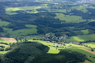
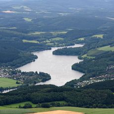
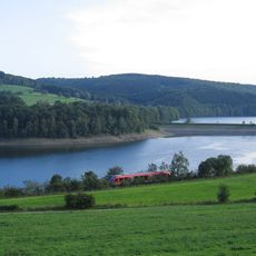
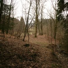
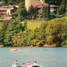
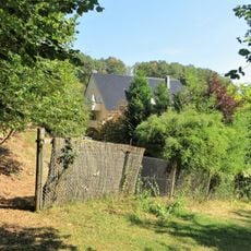
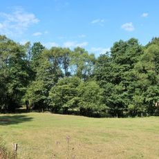
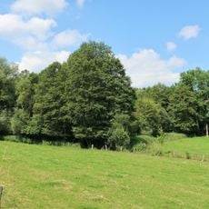
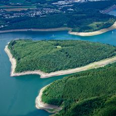
Neger is an administrative district in Olpe comprising three connected villages - Unterneger, Mittelneger, and Oberneger - situated at about 410 meters elevation near Biggesee lake. The settlements spread across the rolling terrain of the Sauerland region with its meadows and forests.
The area was first documented in 1468 and experienced significant changes when Count Engelbert III acquired the Bilstein territory in 1359. This acquisition led to the division into separate settlements that have remained as distinct villages to the present day.
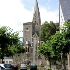
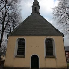
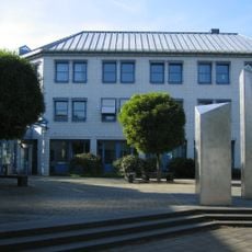
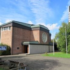
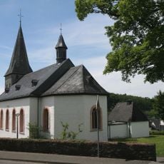
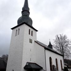
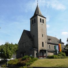
The Church of St. Barbara and St. Luzia anchors community life and was built after World War II to serve the expanding population. It remains a focal point where residents gather for religious observance and local events.
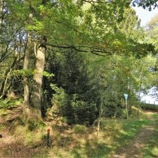
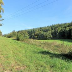
The area offers multiple hiking paths through the Sauerland region, and free brochures are available to help plan routes. Visitors should check which trails offer the best views and easiest access before setting out.
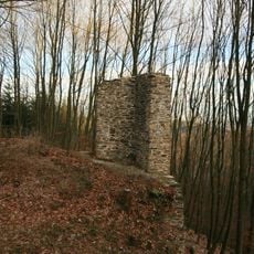
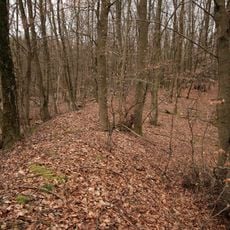
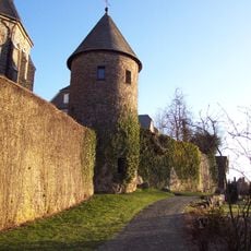
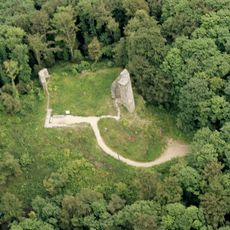
The area lies along a former Roman trade route connecting Bonn and Brilon, and remnants of an old customs station can still be seen nearby. This historical connection shows how important the route was for commerce in ancient times.
The community of curious travelers
AroundUs brings together thousands of curated places, local tips, and hidden gems, enriched daily by 60,000 contributors worldwide.