
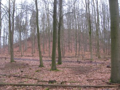
Staufenberg, mountain in Germany
Location: Hesse
Elevation above the sea: 361.2 m
Part of: Langen- und Staufenbergplatte
GPS coordinates: 51.37750,9.43234
Latest update: March 5, 2025 03:49

Schloss Wilhelmsthal
2.1 km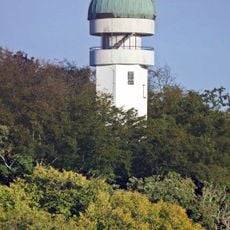
Volkssternwarte Rothwesten
5.8 km
Firnskuppe
2.9 km
Elfbuchen
5.9 km
Hohlestein
5.6 km
Ahnepark
2.6 km
Steinkiste von Calden
3.3 km
Glasmuseum
6 km
Kirche Kirchditmold
6.1 km
Burg Burguffeln
5.5 km
Galeriegrab Calden I
3.3 km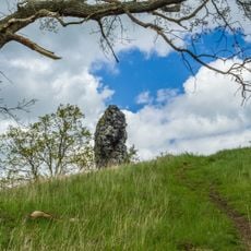
Kopfsteine
5.6 km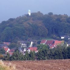
Häuschensberg
5.8 km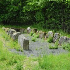
Galeriegrab Calden II
4.1 km
Saint John Church
4.2 km
Jewish cemetery, Meimbressen
5.9 km
Kirche Herz Mariä
5 km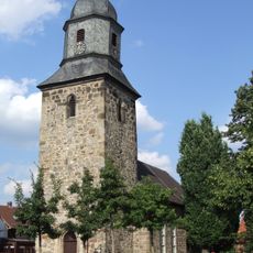
Evangelische Kirche
2.2 km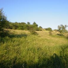
Keischel bei Weimar
3.2 km
Evangelische Kirche Meimbressen
6.2 km
Evangelische Kirche Weimar
2.9 km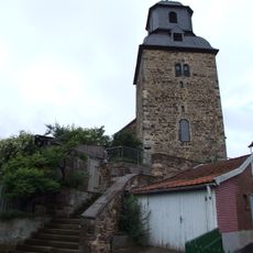
Evangelische Kirche Hohenkirchen
3.6 km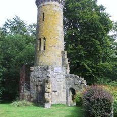
Elfbuchenturm
5.9 km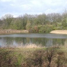
Rothenberg bei Burguffeln
5.1 km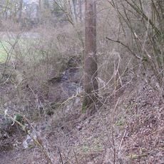
Höllgraben in Fuldatal
4.7 km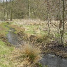
Jungfernbach und Brandteich bei Calden
2.4 km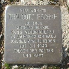
Stolperstein dedicated to Traugott Eschke
4.1 km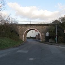
Eisenbahnbrücke über die Oberstraße
3.3 kmReviews
Visited this place? Tap the stars to rate it and share your experience / photos with the community! Try now! You can cancel it anytime.
Discover hidden gems everywhere you go!
From secret cafés to breathtaking viewpoints, skip the crowded tourist spots and find places that match your style. Our app makes it easy with voice search, smart filtering, route optimization, and insider tips from travelers worldwide. Download now for the complete mobile experience.

A unique approach to discovering new places❞
— Le Figaro
All the places worth exploring❞
— France Info
A tailor-made excursion in just a few clicks❞
— 20 Minutes