Enable Location

We need your location to show you interesting places around you

Discover nearby places

Find interesting locations and hidden gems around you

Precise directions

Get accurate directions and distances to places

Your location is never shared with other users. It's only used when you tap the location button.

Log in to your account

Start exploring — it's free

Trusted by 63,517 travelers worldwide

Continue with Google
Continue with Apple
or

We will send you a code to connect

By continuing, you accept our Terms and Conditions and our Privacy Policy

Check your inbox

We've sent a pincode in your inbox. Please enter the code below.

Langenthal
Discussion Reviews Photo
1.5k Popularity

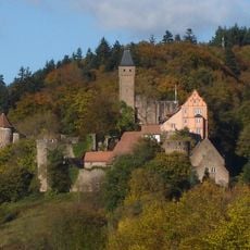
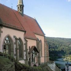
Langenthal, Rural district in Hirschhorn, Germany.

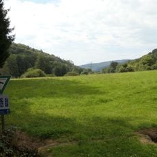
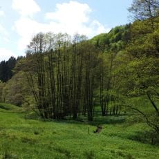
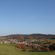
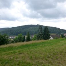
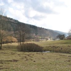
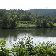
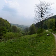
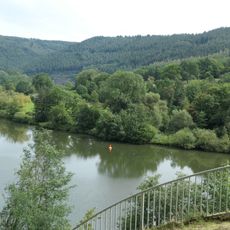
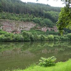
Langenthal is a district of Hirschhorn situated at approximately 181 meters elevation in a landscape defined by meadows and fields. The area spans roughly 635 hectares and is shaped by the Geo-Naturpark Bergstraße-Odenwald.

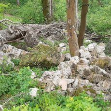
The place was first documented in 1322 and originally belonged to the Lords of Harfenberg. It later passed to the Landschad von Steinach family before becoming part of the Grand Duchy of Hessen-Darmstadt.

Langenthal reflects its agricultural heritage through land consolidation practices, maintaining 635 hectares of traditional farming territory within its boundaries.

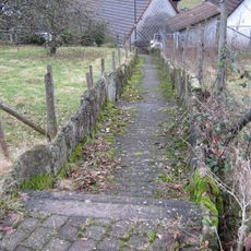
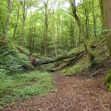
The area connects to Hirschhorn through a network of local routes and carries postal code 69434. Visitors should stick to established paths and keep in mind that this is a rural region with active agricultural use.

A substantial portion of the historical tithe revenues went to the Wormser Hofkammer, while a smaller share supported the parish in Neckarsteinach. This unequal distribution reflected the complex territorial dependencies typical of many settlements in the region.

The community of curious travelers

AroundUs brings together thousands of curated places, local tips, and hidden gems, enriched daily by 60,000 contributors worldwide.

Start exploring
Location
Elevation above the sea
181 m
GPS coordinates
49.47230,8.84619
Latest update
December 14, 2025 14:43
Reviews
Share your experience

No review yet

Discussions
Start a discussion...

No discussion yet

« Langenthal - Rural district in Hirschhorn, Germany » is provided by Around Us (aroundus.com). Images and texts are derived from Wikimedia project under a Creative Commons license. You are allowed to copy, distribute, and modify copies of this page, under the conditions set by the license, as long as this note is clearly visible.

Discover hidden gems everywhere you go!

From secret cafés to breathtaking viewpoints, skip the crowded tourist spots and find places that match your style. Our app makes it easy with voice search, smart filtering, route optimization, and insider tips from travelers worldwide. Download now for the complete mobile experience.

Around Us App Screenshot

A unique approach to discovering new places

Le Figaro

All the places worth exploring

France Info

A tailor-made excursion in just a few clicks

20 Minutes

Around Us
Travel Guide & Maps
Download

Send to your phone

QR Code
1

Open the camera app on your mobile.

2

Point at the QR code with your camera. A notification will appear.

3

Tap the notification to open the link.