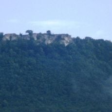
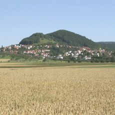
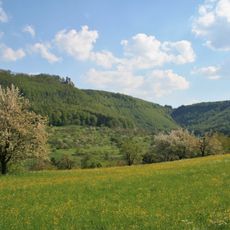
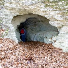
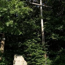
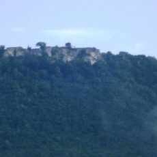
Limburg, Conical hill in Weilheim an der Teck, Germany.
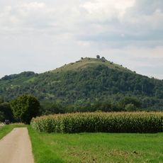
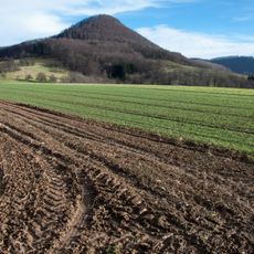
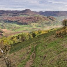
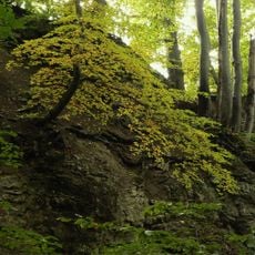
Limburg rises to 597 meters elevation as a distinctive cone-shaped hill formed from ancient volcanic activity, featuring basaltic rock formations that remained after millions of years of erosion removed the surrounding Jurassic limestone layers.
The volcanic formation originated approximately 17 million years ago during the Miocene epoch when gas explosions and magma interactions created the characteristic basalt deposits that define this geological landmark in the Swabian Jura region.
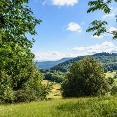
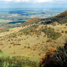
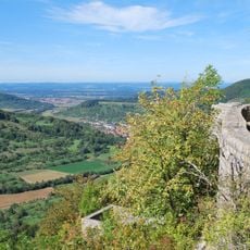
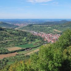
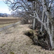
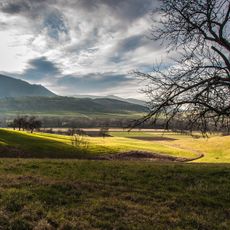
Local hiking enthusiasts and geology students frequently visit Limburg to study its volcanic origins and enjoy panoramic views of the Baden-Württemberg countryside from its summit covered with sparse grass and solitary lime trees.
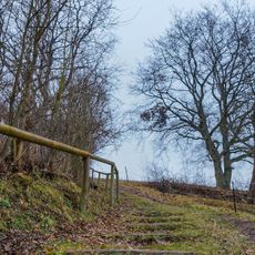
Visitors can access Limburg through well-marked hiking trails starting from Weilheim an der Teck, and should bring water and appropriate footwear as facilities on the hill are limited.
Unlike typical stratovolcanoes, Limburg formed when underground magma never reached the surface but instead created explosive gas eruptions that fragmented rock and formed the present cone through debris fallback into the crater.
The community of curious travelers
AroundUs brings together thousands of curated places, local tips, and hidden gems, enriched daily by 60,000 contributors worldwide.