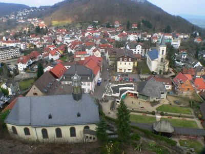
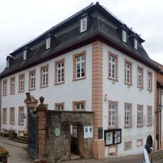
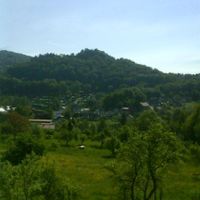
Lindenfels, town in Kreis Bergstraße in Hesse, Germany
Lindenfels is a town and recognized health resort in the Bergstrasse region. It offers established visitor infrastructure centered on its climate and rural setting for those seeking wellness stays.
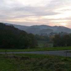
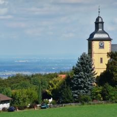
The town gained its health resort status because of its location and climate conditions, making it attractive to visitors seeking wellness benefits. This official recognition shaped its development as a destination for people pursuing rest and recovery.
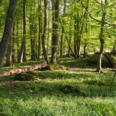
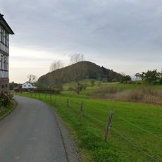
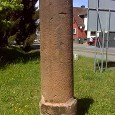
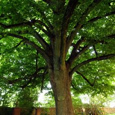
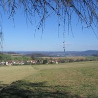
The town takes its name from the linden trees that once shaped the landscape and remain part of local identity. Visitors still encounter these green elements today scattered throughout streets and squares that help define the town's character.
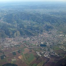
The town works well for day visits or longer stays and is accessible to visitors with varying mobility needs. The warmer months offer the best conditions for enjoying what the location has to offer.
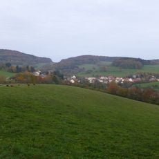
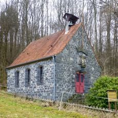
The town is lesser known compared to other health resorts in the region but attracts visitors who want calm and wellness without crowds. This makes it a genuine secret spot for those seeking peaceful stays.
The community of curious travelers
AroundUs brings together thousands of curated places, local tips, and hidden gems, enriched daily by 60,000 contributors worldwide.