Enable Location

We need your location to show you interesting places around you

Discover nearby places

Find interesting locations and hidden gems around you

Precise directions

Get accurate directions and distances to places

Your location is never shared with other users. It's only used when you tap the location button.

Mooswaldkopf

Log in to your account

Start exploring — it's free

Trusted by 61,938 travelers worldwide

Continue with Google
Continue with Apple
or

We will send you a code to connect

By continuing, you accept our Terms and Conditions and our Privacy Policy

Check your inbox

We've sent a pincode in your inbox. Please enter the code below.

Mooswaldkopf

Mooswaldkopf, Mountain summit in Central Black Forest, Germany

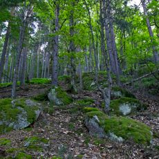
Mooswaldkopf is a 879-meter summit in the central Black Forest surrounded by dense coniferous forests. The landscape is shaped by reddish Buntsandstein sandstone formations that emerge between the trees and define the terrain.

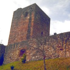
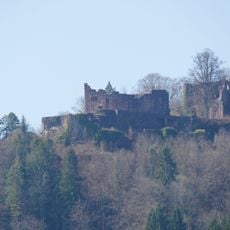
Since 1805, this summit has marked the boundary between the former Grand Duchy of Baden and Kingdom of Württemberg. Stone boundary markers remain visible along the hiking trails today, serving as reminders of this historical division.

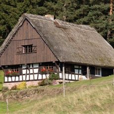
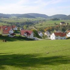
The name Mooswaldkopf refers to the moorlands and forests surrounding the peak, which shape the local landscape character. Visitors experience this blend of open wetlands and dense woodland, especially on the lower sections of the hiking trails.

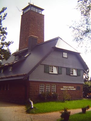
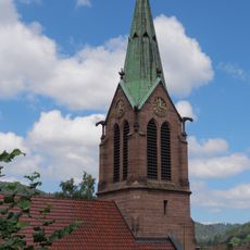
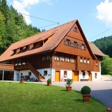
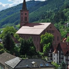
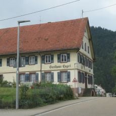
Multiple marked hiking trails from the villages of Lauterbach and Hornberg lead to the summit, suitable for different fitness levels. The Gedächtnishaus Fohrenbühl lodge offers rest and refreshments for hikers along the way.

The surrounding forest contains a notable concentration of holly trees that form specialized fir-holly woodlands characteristic of this Black Forest region. These unusual forests can be observed while hiking through the area.

The community of curious travelers

AroundUs brings together thousands of curated places, local tips, and hidden gems, enriched daily by 60,000 contributors worldwide.

Start exploring
Elevation above the sea
879 m
Part of
Central Black Forest
GPS coordinates
48.24089,8.30120
Latest update
December 14, 2025 18:44
« Mooswaldkopf - Mountain summit in Central Black Forest, Germany » is provided by Around Us (aroundus.com). Images and texts are derived from Wikimedia project under a Creative Commons license. You are allowed to copy, distribute, and modify copies of this page, under the conditions set by the license, as long as this note is clearly visible.

Discover hidden gems everywhere you go!

From secret cafés to breathtaking viewpoints, skip the crowded tourist spots and find places that match your style. Our app makes it easy with voice search, smart filtering, route optimization, and insider tips from travelers worldwide. Download now for the complete mobile experience.

Around Us App Screenshot

A unique approach to discovering new places

Le Figaro

All the places worth exploring

France Info

A tailor-made excursion in just a few clicks

20 Minutes

Around Us
Travel Guide & Maps
Download

Send to your phone

QR Code
1

Open the camera app on your mobile.

2

Point at the QR code with your camera. A notification will appear.

3

Tap the notification to open the link.