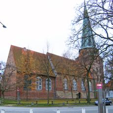
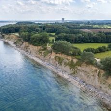
Küstenlandschaft zwischen Priwall und Barendorf mit Harkenbäkniederung, Coastal nature reserve in Dassow, Germany
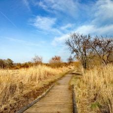
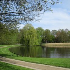
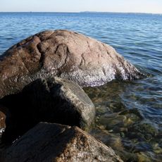
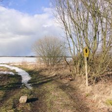
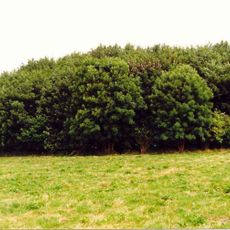
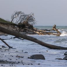
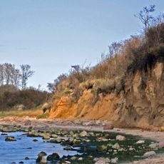
The coastal nature reserve between Priwall and Barendorf covers around 580 hectares along the Baltic Sea with sand dunes, cliff coasts, moorlands, and small lakes scattered throughout. The reserve is structured as a mosaic of different habitats, with the undeveloped Harkenbäk lowlands forming a key part of this varied landscape.
Protection of the area started in 1938 with the Deipsee region, but the reserve reached its current extent only after German reunification through regulations adopted between 1990 and 2000. This timeline reflects how political changes shaped the conservation of this coastal landscape.
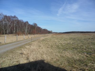
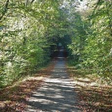
The area carries traces of the former border between East and West Germany, now transformed into a cycling and hiking trail that visitors use to explore the coast. Walking this path allows people to experience how nature has reclaimed what was once a heavily monitored frontier.
Multiple paths allow visitors to explore the reserve on foot or by bicycle, with a dedicated cycling and hiking route that follows the former patrol path running along the coast. This route works well for longer outings since it connects different landscape types throughout the area.
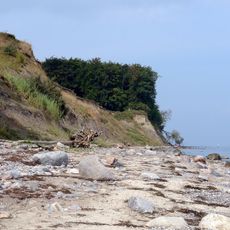
The reserve consists of three distinct geological formations: post-glacial beach meadows, moraine cliffs, and lowlands shaped by ancient glacier tunnel systems. This geological diversity explains the different habitats and vegetation types that visitors encounter while exploring the area.
The community of curious travelers
AroundUs brings together thousands of curated places, local tips, and hidden gems, enriched daily by 60,000 contributors worldwide.