Prinzenhöhle, Cultural heritage cave in Hartenstein, Germany.
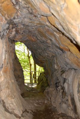
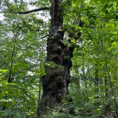
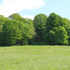
Prinzenhöhle is a natural cave located near Hartenstein in Saxony, formed from limestone with branching chambers and passages. The cave system clearly shows traces of water erosion that has sculpted the rock over extended periods.
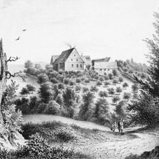
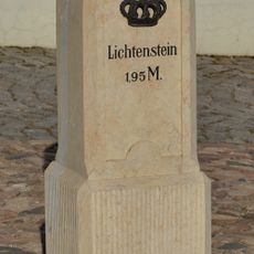
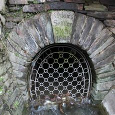
The cave was first documented in 1455 and has served as a landmark in the Zwickau region for centuries. Visitors have been drawn to the site over time, contributing to its role in local heritage.
The cave's name comes from an old regional legend that local residents have passed down through generations. It holds meaning for the community as a place connected to the area's past and natural character.
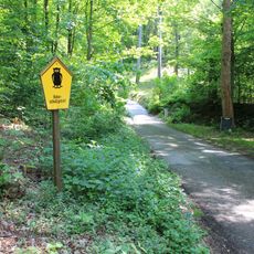
Access is available through guided tours organized by the Hartenstein tourism office, which provides safety equipment and experienced guides. Visitors should wear sturdy shoes and be prepared for cool underground temperatures throughout the year.
The cave contains rock patterns formed by water erosion over centuries, creating visible lines and structures in the limestone walls. These geological features result from natural processes and give the cave interior a distinctive appearance.
Location: Zwickau
Inception: 1455
Address: Hartenstein
GPS coordinates: 50.63683,12.67978
Latest update: December 8, 2025 19:49
Shaft 371
637 m
Schloss Hartenstein
2.7 km
Stein Castle
2.1 km
Schloss Wolfsbrunn
2 km
Isenburg
528 m
Edelhof Alberoda
2.6 km
Auferstehungskirche Oberschlema
1.1 km
Kirche Wildbach
1.1 km
Vogelherd Niederschlema
260 m
Hartensteiner Wald
420 m
Stein Castle
2.1 km
Hochzeits-Eichen
2.4 km
Rittergut Alberoda
2.6 km
Hartensteiner Muldetal und Forstrevier
1.1 km
Rathaus Hartenstein, Marktplatz 9
2.8 km
Schacht 382
2.3 km
Burganlage, heute Heimatmuseum und Hotel Stein 1
2.1 km
Meilenstein August-Bebel-Straße 38
2.7 km
Sachgesamtheit Schloss Hartenstein mit folgenden Einzeldenkmalen: Eichenallee (siehe Obj. 09246422), Gedenkstein für Alexander Fürst von Schönburg-Hartenstein (siehe Obj. 08955873), vier Wohn- und Wirtschaftsgebäude des ehem. Rittergutes (siehe O
2.7 km
Teichgebiet Raum
2.6 km
Bahnhof Hartenstein
2.2 km
Basteihang
2.1 km
Marktsteig
2.5 km
Brücke Zwickauer Mulde; Eisenbahnstrecke Schwarzenberg – Zwickau
1.8 km
2 Eichen
1.9 km
Ehemalige Stahlträger-Eisenbahnbrücke in Aue-Bad Schlema
1.8 km
Markus-Semmler-Stolln Bad Schlema
1.9 km
Eisenträgerbrücke beim Tunnel Niederschlema
2.7 kmVisited this place? Tap the stars to rate it and share your experience / photos with the community! Try now! You can cancel it anytime.
Discover hidden gems everywhere you go!
From secret cafés to breathtaking viewpoints, skip the crowded tourist spots and find places that match your style. Our app makes it easy with voice search, smart filtering, route optimization, and insider tips from travelers worldwide. Download now for the complete mobile experience.
A unique approach to discovering new places❞
— Le Figaro
All the places worth exploring❞
— France Info
A tailor-made excursion in just a few clicks❞
— 20 Minutes