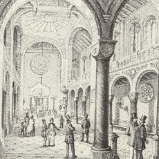
Quadratestadt, Planned district in Mannheim, Germany.
Quadratestadt is a district in Mannheim featuring 144 rectangular blocks arranged in a grid pattern and identified by letters and numbers instead of street names. The blocks extend with uniform spacing in all directions, creating an orderly structure that makes navigation straightforward.
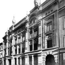
Planning for the district began in 1606 when Elector Friedrich IV commissioned Dutch fortress architect Bartel Janson to design a military-influenced urban layout next to Friedrichsburg Citadel. This innovative approach to planned city design influenced how modern urban development was later understood and executed.
The district's name comes from its squared blocks, a layout that creates an unusual character you notice immediately when walking through the area. Residents and visitors navigate a structure that differs fundamentally from other European neighborhoods.
The district follows a systematic orientation system where blocks are labeled alphabetically from east to west and numerically from north to south, making navigation simple. This scheme helps visitors find their way quickly and keep track of the entire area.
The term Quadratestadt first appeared in council records in 1676, marking the start of a structured naming system that defined the district's identity for centuries to come. This naming concept was revolutionary for its time and is applied so consistently in few other European cities.
The community of curious travelers
AroundUs brings together thousands of curated places, local tips, and hidden gems, enriched daily by 60,000 contributors worldwide.