
Rüngsdorf, quarter of Bonn, Germany
Location: Bad Godesberg
Location: Bonn
Elevation above the sea: 63 m
GPS coordinates: 50.68390,7.17093
Latest update: March 9, 2025 15:36
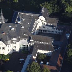
Schloss Deichmannsaue
1.7 km
Landesvermessungsamt Nordrhein-Westfalen
1.3 km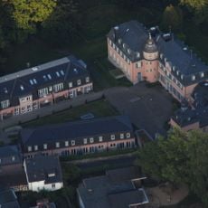
Kommende Muffendorf
1.6 km
Kleine Beethovenhalle
1.5 km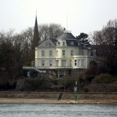
Heisterbachstraße 39
263 m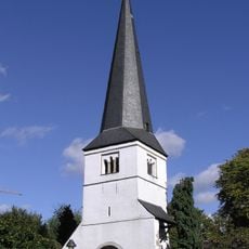
Kirchturm St. Andreas
109 m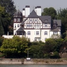
Basteistraße 18
288 m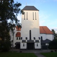
Sacred Heart Church (Bad Godesberg)
990 m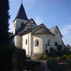
Alt-St. Martin
1.7 km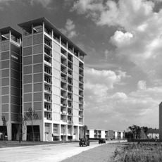
HICOG-Siedlung Muffendorf/Pennenfeld
925 m
Karl-Finkelnburg-Straße 49–53
566 m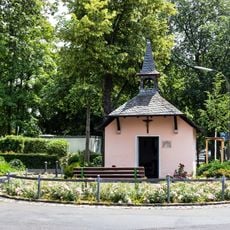
Marienkapelle Rüngsdorf
272 m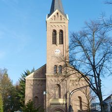
Erlöserkirche (Rüngsdorf)
469 m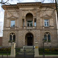
Rheinallee 24
688 m
Kronprinzenstraße 2
300 m
Rolandstraße 43
397 m
Karl-Finkelnburg-Straße 19
256 m
Bastei
739 m
Von-Weiß-Straße 8
1.6 km
Rheinallee 76
631 m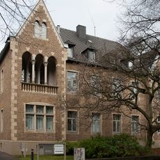
Dürenstraße 33
581 m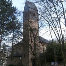
St. Hildegard (Rüngsdorf)
1.5 km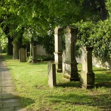
Jewish cemetery, Königswinter
1.5 km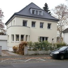
Ubierstraße 88 (Bonn)
821 m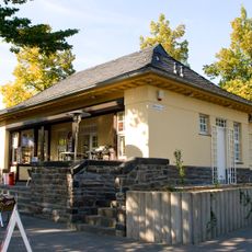
Wartehalle der Station Godesberg II
914 m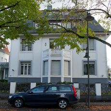
Rheinallee 32
661 m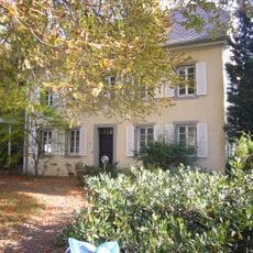
Rheinstraße 33–35
142 m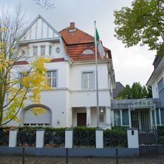
Rheinallee 34
655 mVisited this place? Tap the stars to rate it and share your experience / photos with the community! Try now! You can cancel it anytime.
Discover hidden gems everywhere you go!
From secret cafés to breathtaking viewpoints, skip the crowded tourist spots and find places that match your style. Our app makes it easy with voice search, smart filtering, route optimization, and insider tips from travelers worldwide. Download now for the complete mobile experience.

A unique approach to discovering new places❞
— Le Figaro
All the places worth exploring❞
— France Info
A tailor-made excursion in just a few clicks❞
— 20 Minutes