
Scheuerheck, human settlement in Germany
Location: Bad Münstereifel
Elevation above the sea: 440 m
GPS coordinates: 50.53419,6.85332
Latest update: March 4, 2025 05:42
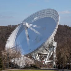
Effelsberg 100-m Radio Telescope
2.3 km
Felsennest
6.1 km
Michelsberg
3.2 km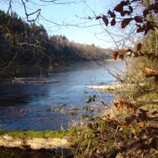
Madbachtalsperre
6.3 km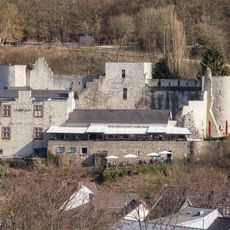
Burg Münstereifel
6.6 km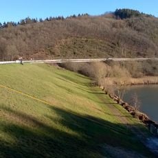
Hochwasserrückhaltebecken Eicherscheid
5.1 km
Alte Burg
6.4 km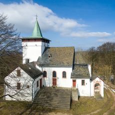
St. Michael
3.2 km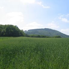
Hochthürmerberg
3.9 km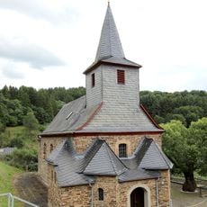
St. Martin
3.5 km
Burghaus Burgsahr
4.4 km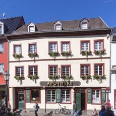
Apotheken-Museum Bad Münstereifel
6.7 km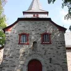
Alt St. Thomas
4.1 km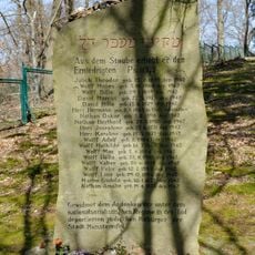
Jüdischer Friedhof
6.6 km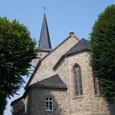
St. Stephan
2.1 km
Windeckhaus
6.7 km
St. Helena (Mutscheid)
6.1 km
Houverather Bach und Nebenbäche
4 km
St. Hermann Josef
4.3 km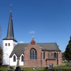
St. Goar
6.1 km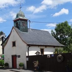
St. Antonius
1.9 km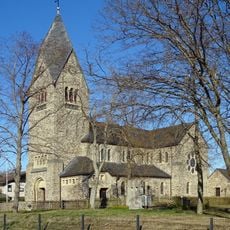
St. Thomas
3.7 km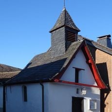
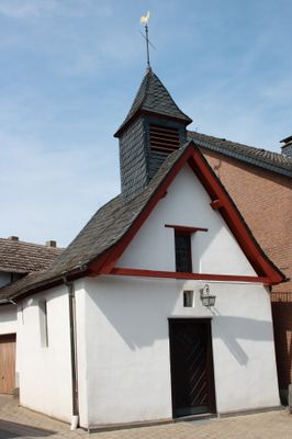
St. Donatus
79 m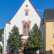
Jesuitenkirche Bad Münstereifel
6.7 km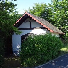
Kapelle der vierzehn Nothelfer
5.6 km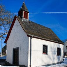
Kapelle St. Lüfthildis
5.4 km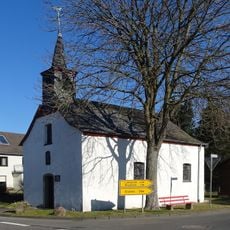
Kapelle St. Wendelinus und St. Agatha
4.3 km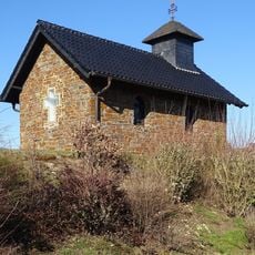
Kapelle der schmerzhaften Mutter
4.6 kmVisited this place? Tap the stars to rate it and share your experience / photos with the community! Try now! You can cancel it anytime.
Discover hidden gems everywhere you go!
From secret cafés to breathtaking viewpoints, skip the crowded tourist spots and find places that match your style. Our app makes it easy with voice search, smart filtering, route optimization, and insider tips from travelers worldwide. Download now for the complete mobile experience.

A unique approach to discovering new places❞
— Le Figaro
All the places worth exploring❞
— France Info
A tailor-made excursion in just a few clicks❞
— 20 Minutes