Salzkopf, Mountain summit in Rhineland-Palatinate, Germany
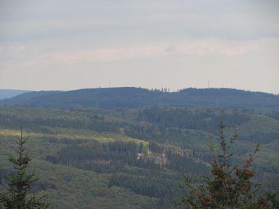
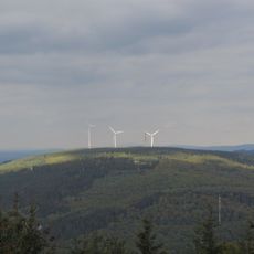
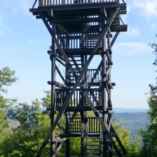
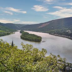
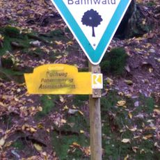
Salzkopf is a mountain summit reaching 628 meters in elevation, located within the densely forested Bingen Forest in Rhineland-Palatinate. Multiple marked hiking trails connect the peak to neighboring towns and several designated parking areas that serve as convenient starting points.
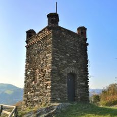
The area was once centered on logging and forestry work that shaped the landscape for generations. The creation of marked hiking routes gradually transformed it into a recreational destination that now attracts visitors from surrounding regions.
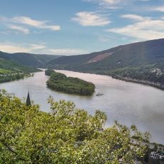
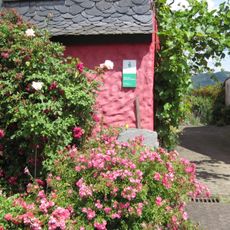
The summit draws hikers who come to experience the forested landscape that has long shaped the identity of local communities in this region. People use the marked paths as a way to connect with nature and maintain ties to the outdoor traditions of the Hunsrück.
The summit is easily reached from several starting points with clearly marked trails and parking areas nearby for convenient access. The routes are well signposted throughout, making orientation straightforward for hikers of different experience levels.
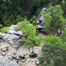
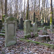
The forest around the peak is crossed by wildlife trails where deer and other woodland animals can often be spotted, revealing how intact the natural environment remains. Visitors may notice geological rock formations scattered through the wooded slopes that show the layered history of the land itself.
The community of curious travelers
AroundUs brings together thousands of curated places, local tips, and hidden gems, enriched daily by 60,000 contributors worldwide.