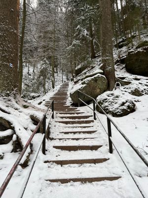
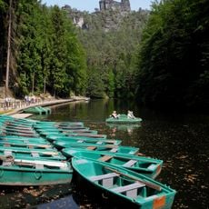
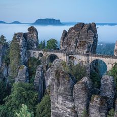
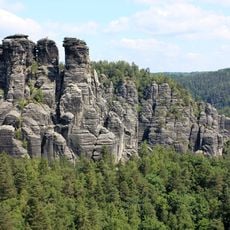
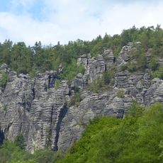
Schwedenlöcher, Narrow canyon with stone stairs in Lohmen, Germany
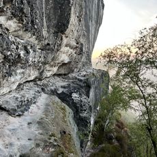
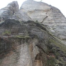
Schwedenlöcher is a narrow rock gorge with natural sandstone formations and constructed stone steps winding through different levels of the canyon. Concrete bridges connect various sections and guide visitors safely over deep gaps and steep passages.
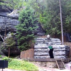
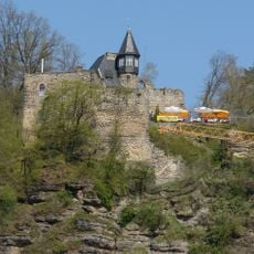
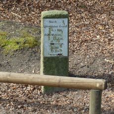
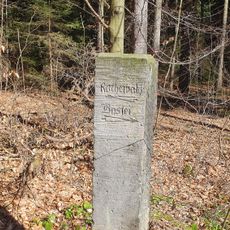
Local farmers used this gorge as a refuge to hide their possessions during 17th-century military conflict, which later inspired the place's name. This event became a defining moment that continues to shape how the location is understood today.
The name reflects Swedish military movements through the region centuries ago. Local stories about this period remain woven into how residents speak about and experience this place today.
Sturdy footwear and basic fitness are essential to navigate the elevation changes safely throughout the route. Wet or rainy conditions make the steps slippery, so visitors should exercise caution during or after precipitation.
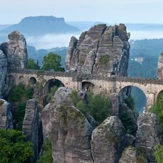
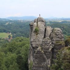
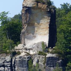
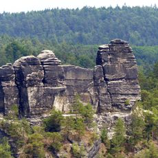
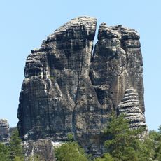
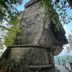
Adjacent to the main walking path, experienced climbers can explore the nearby Schwedenturm rock formation, which has its own climbing tradition. The first documented ascent of this formation occurred in the early 1900s and marked an important moment in local climbing history.
The community of curious travelers
AroundUs brings together thousands of curated places, local tips, and hidden gems, enriched daily by 60,000 contributors worldwide.