Tullnau, Statistical district in Nuremberg, Germany.
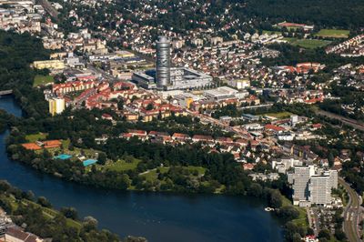
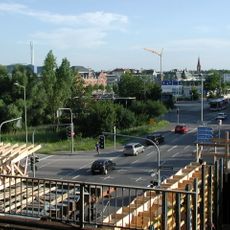
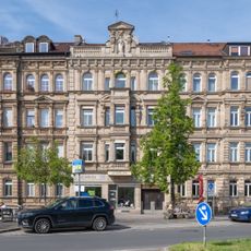
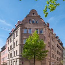
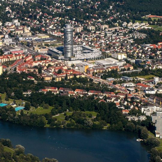
Tullnau is a residential district in eastern Nuremberg situated between the Veilhof and Wöhrd neighborhoods. The area sits near the Wöhrder See lake at an elevation of roughly 315 meters (1,033 feet).
Tullnau was first recorded in 1362 as a field name; the Middle High German roots mean water-rich meadow land drained by a stream. The Goldbach was dammed in the mid-14th century, creating a pond that powered a mill, first mentioned with a hammer works in 1381. From 1502 it operated as a paper mill; the mill and its inn were destroyed in the Second World War.
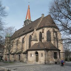
The name Tullnau comes from Middle High German: "dole" for a drainage channel and "ouwe" for water-rich meadowland, pronounced "Dullnau" in the Nuremberg dialect. Since the Reformation the district has been Lutheran, originally in the parish of St. Nikolaus and Ulrich in Mögeldorf, today in St. Bartholomäus in Wöhrd; Catholics belong to St. Kunigund.
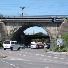
The S-Bahn stop Nürnberg-Dürrenhof, opened on 29 September 1990, lies between Gleißbühl/Tullnau and St. Peter and has a 147 m long, 96 cm high central platform. Lines S2 (Roth–Hartmannshof) and S3 (Altdorf) call every 20 minutes; tram lines 5 and 11 and bus lines 36 and 94 connect here.
The mill at Tullnau was first recorded in 1381 as a hammer mill, was converted to a paper mill from 1502, and was destroyed with its adjoining inn during the Second World War. The Goldbach stream was dammed in the mid-14th century to create the pond that gave the area its name.
The community of curious travelers
AroundUs brings together thousands of curated places, local tips, and hidden gems, enriched daily by 94,644 contributors worldwide.