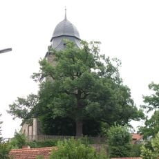
Wartberg, Archaeological hill in Niedenstein, Germany
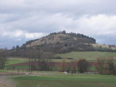
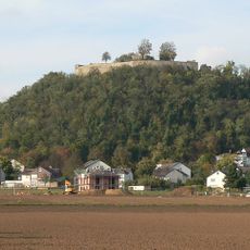
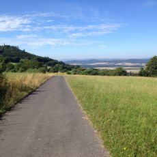
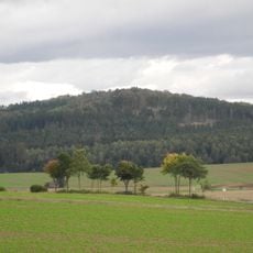
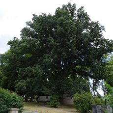
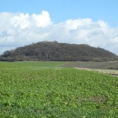
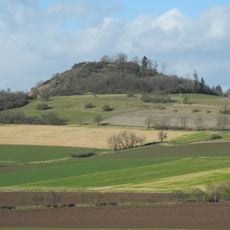
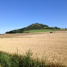
Wartberg is a hill in Niedenstein in northern Hesse that stands about 306 meters (1,000 feet) high and contains archaeological layers from past settlements. The slopes reveal evidence of how people built and lived here during the Neolithic period.
The hill became the reference site for the Wartberg culture that existed between 3600 and 2800 BCE, defined by particular pottery styles and settlement patterns. This early society shaped how communities in the region built their homes for centuries afterward.
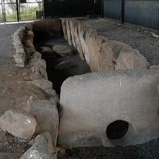
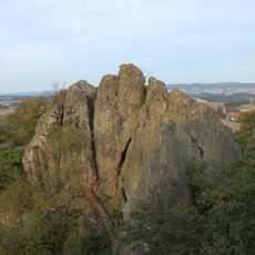
The hill lent its name to an ancient culture that archaeologists identified through discoveries made here. Visitors walking through the site can observe where pottery was created and used by communities who lived on these slopes thousands of years ago.
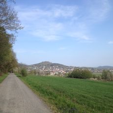
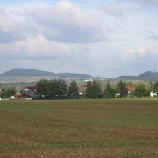
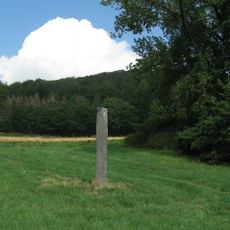
Marked hiking trails guide visitors across the hill and connect to other archaeological sites in the surrounding area. The site is best visited during warmer months when the paths are dry and easy to walk.
The people who settled here deliberately chose elevated positions on the hill, showing they planned their homes with strategy in mind. This selection of higher ground gave them advantages in defense and visibility over the surrounding landscape.
The community of curious travelers
AroundUs brings together thousands of curated places, local tips, and hidden gems, enriched daily by 60,000 contributors worldwide.