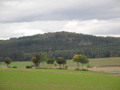
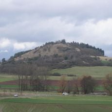
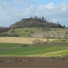
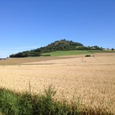
Klauskopf, Mountain summit in Bad Emstal, Germany.
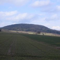
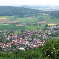
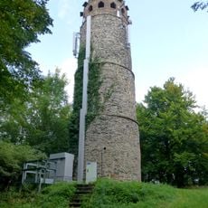
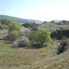
Klauskopf is a forested mountain summit near Bad Emstal that rises 413.7 meters above sea level, covered in mixed deciduous trees and spruce. A stone observation tower stands at the peak, allowing visitors to look out across the northern Hessian mountain range.
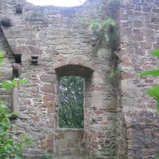
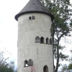
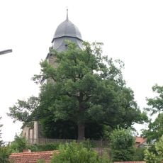
The stone observation tower was constructed in 1857 to provide views across the northern Hessian mountains and became an early landmark for the developing tourism in the area. Around the same period, the surrounding landscape was developed as a park, showing how mountain recreation emerged as a new interest during the 19th century.
The name Klauskopf comes from old Germanic roots meaning "Klaus" (a narrow gorge) and "Kopf" (head), reflecting how the landscape was understood by early inhabitants. Local residents and hikers today still use similar naming patterns when discussing other features of the Habichtswald Mountains.
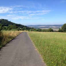
Hiking trails are well marked and begin from the parking area near Riede, leading up to the summit over gravel paths that require no special equipment. The climb suits hikers of various experience levels, and trails can be walked in all seasons though they may become slippery when wet.
Inside the tower, a cast-iron spiral staircase winds upward to a viewing platform where visitors emerge from the narrow stairwell into open sky and landscape views. This tight vertical climb creates a physical experience before reaching the panoramic viewpoint.
The community of curious travelers
AroundUs brings together thousands of curated places, local tips, and hidden gems, enriched daily by 60,000 contributors worldwide.