
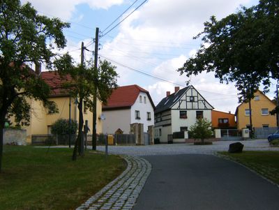
Weißig, human settlement in Germany
Location: Gera
Elevation above the sea: 325 m
GPS coordinates: 50.83760,12.02490
Latest update: March 15, 2025 18:28
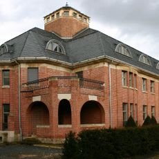
Haus Schulenburg
4.1 km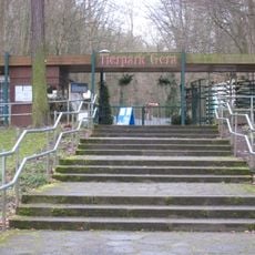
Tierpark Gera
4.2 km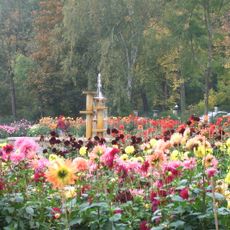
Dahliengarten
4.3 km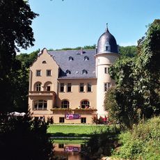
Villa Jahr
5.3 km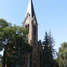
St. Martini (Zwötzen)
4.5 km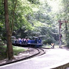
Parkeisenbahn Gera
4.2 km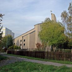
Hl. Maximilian Kolbe
3 km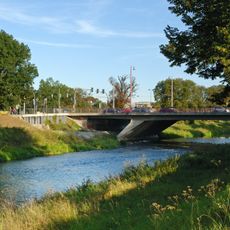
Heinrichsbrücke
5.1 km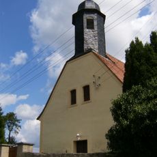
Dorfkirche Weißig
164 m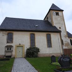
St. Anna (Hundhaupten)
2.8 km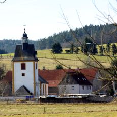
St. Valentin
3.5 km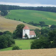
Protestant Church Geißen
3.2 km
St. Markus (Schöna)
4.3 km
Protestant Church Taubenpreskeln
4.8 km
Allerheiligenkirche
4.7 km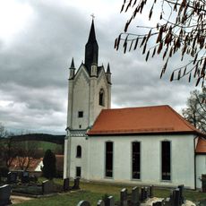
Protestant Church Großsaara
4.1 km
St. Thomas (Großbocka)
4.5 km
Dorfkirche Oberröppisch
2.8 km
Dorfkirche Liebschwitz
5.1 km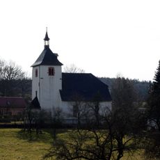
St. Margarethen
3.6 km
St. Johannis (Markersdorf)
1.9 km
Protestant Church Kleinbocka
5 km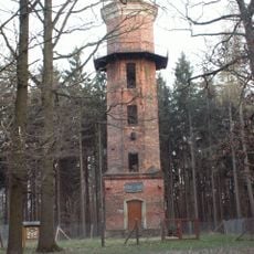
Gladitschturm
4.5 km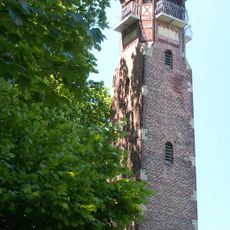
Fuchs-Tower
3.5 km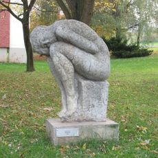
Sitzende
2.1 km
Ziege
2.9 km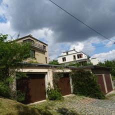
Lehrerhäuser Kratzsch/Schumann
3.6 km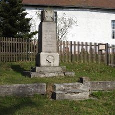
War memorial Schöna (Münchenbernsdorf)
4.3 kmReviews
Visited this place? Tap the stars to rate it and share your experience / photos with the community! Try now! You can cancel it anytime.
Discover hidden gems everywhere you go!
From secret cafés to breathtaking viewpoints, skip the crowded tourist spots and find places that match your style. Our app makes it easy with voice search, smart filtering, route optimization, and insider tips from travelers worldwide. Download now for the complete mobile experience.

A unique approach to discovering new places❞
— Le Figaro
All the places worth exploring❞
— France Info
A tailor-made excursion in just a few clicks❞
— 20 Minutes